Author: Jacob

  • Where Does Devil’s Kettle Go? The Minnesota Waterfall Mystery, Explained

    Where Does Devil’s Kettle Go? The Minnesota Waterfall Mystery, Explained

    A Minnesota waterfall looks as if it sends half a river into a hole in the rock. It does not. The best measurements say the water returns to the Brule River below the falls—just out of sight.

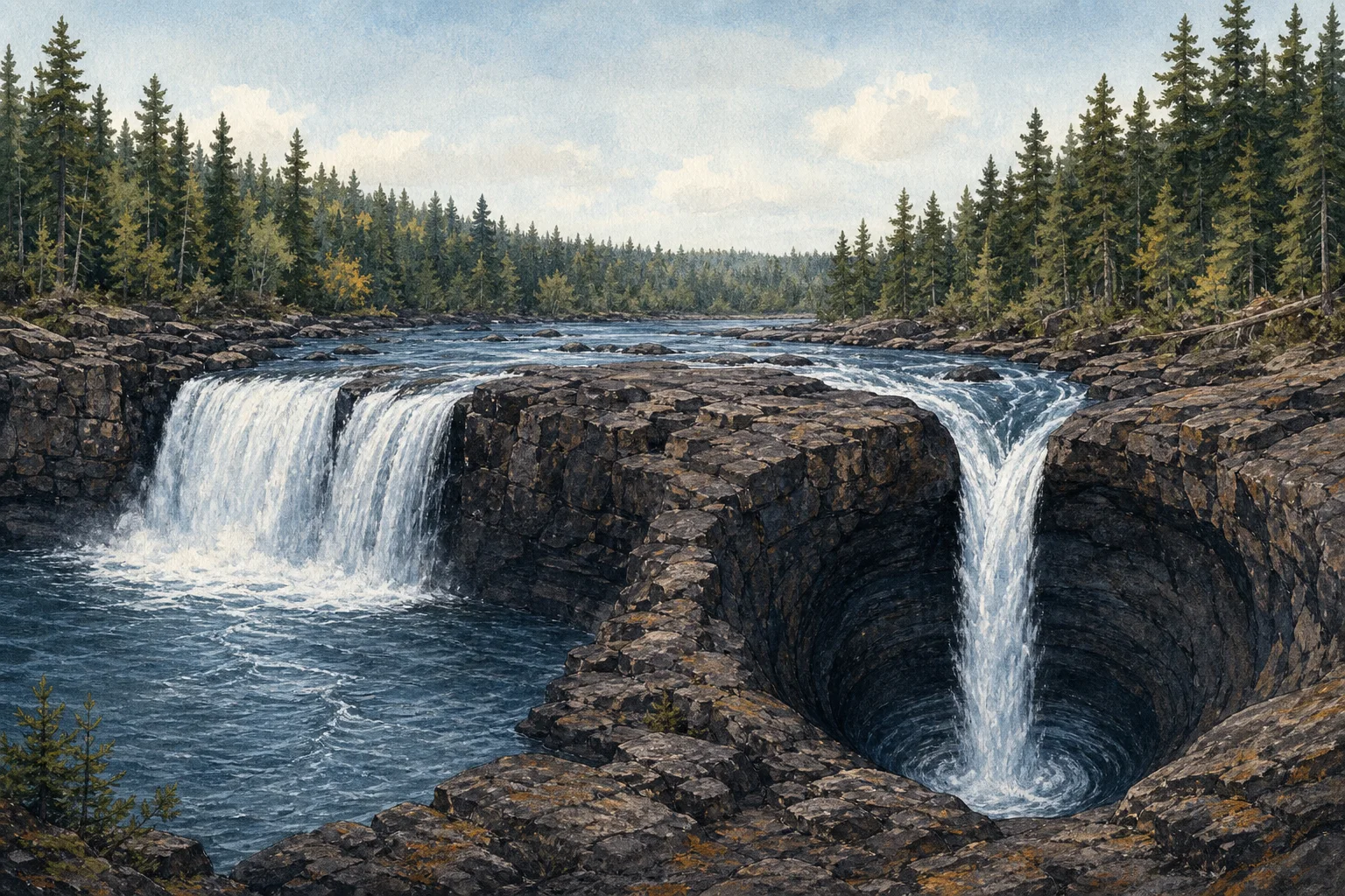
    At Devil’s Kettle Falls in Judge C. R. Magney State Park, near Grand Marais, Minnesota, the Brule River arrives at a rocky ledge and splits. One branch makes an ordinary-looking drop into a pool. The other falls into a dark, rounded opening called the kettle. From the overlook, that second stream seems to vanish.

    That visual trick has produced decades of perfectly reasonable questions: Is there a hidden tunnel? Does the water travel to Lake Superior? Why do tossed objects not immediately appear downstream? The short answer is less supernatural and more interesting: measuring the river turned out to be more useful than watching the hole.

    What makes the falls look impossible

    The Minnesota Department of Natural Resources describes the falls as a split in the Brule River, with one side dropping into a pool and the other into the large pothole. The park sits in a landscape shaped by ancient volcanic activity; the exposed rock around the falls is part of a thick volcanic flow complex. The setting matters because the popular “secret cave to Lake Superior” explanation would require a kind of long, open underground route that geologists did not expect in that hard volcanic rock.

    Folklore naturally filled the gap. Visitors tried informal tests with sticks and other floating objects, then waited for a reappearance that did not come. Those observations are memorable, but they are not a water-budget experiment. A powerful plunge pool can trap, sink, break up, or delay visible debris, while the water itself keeps moving.

    The clue was the flow above and below

    In 2016, DNR hydrologists measured the river above Devil’s Kettle and then again several hundred feet downstream. They recorded 123 cubic feet of water per second above the falls and 121 cubic feet per second below. The DNR said the small difference was within the measuring equipment’s normal tolerance—effectively no missing water in the reach below the kettle.

    That does not mean anyone can point to a neat pipe with a labeled exit. It means the simplest explanation fits the observations: the water entering the kettle resurges into the Brule River downstream, where a turbulent, submerged system hides the route from a visitor at the overlook. The DNR reported that a dye trace was planned as a later visual test; the stream-gauging result itself is the evidence behind the conclusion that the river is not being diverted away.
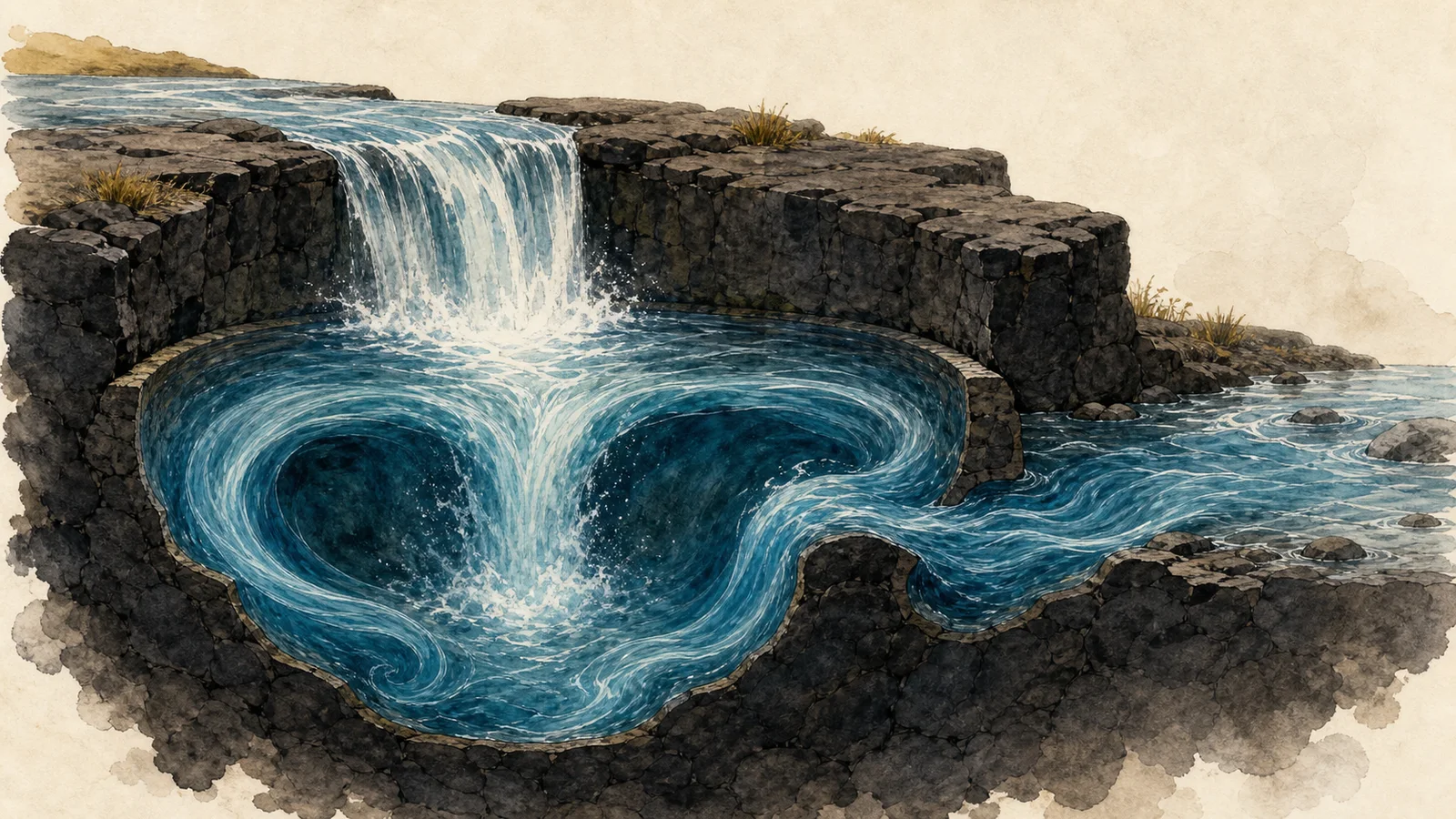
    Conceptual editorial illustration of water swirling through a plunge pool and rejoining a downstream river
    Editorial illustration generated for Weird News. It is a conceptual visualization of turbulent water, not a documentary image or a map of the falls.

    Why a missing stick is not a missing river

    Water and floating objects do not behave alike in a violent plunge pool. The DNR’s 2017 account quoted University of Minnesota geologist Calvin Alexander’s explanation that the pool’s recirculating currents can hold material underwater and break it apart before it resurfaces farther downstream. In other words, a log is a poor tracer: it has size, buoyancy, drag, and a tendency to get caught in chaotic flow. A flow measurement, by contrast, compares the river’s total volume.

    That distinction turns Devil’s Kettle into a useful lesson in how a good mystery gets investigated. The striking view raised a question; the geology narrowed the plausible answers; then hydrologists checked whether the river was actually losing water. The result leaves room for wonder at the hidden turbulence without needing to invent a tunnel.

    A strange place, with a very ordinary accounting

    Devil’s Kettle is still an odd thing to see: a river splitting around a rock rib, with one half visibly continuing and the other apparently swallowed. But the known evidence supports a less dramatic destination. The water is still part of the Brule River.

    If you visit, keep the mystery observational. Follow current park guidance, stay on designated trails and overlooks, and do not throw objects into the water to repeat the old tests. The point is not to make the river reveal its route on command; it is to notice how much can happen in a few hidden, turbulent seconds.
    Sources

  • Why 70-Foot Concrete Arrows Still Point Across the American West

    Why 70-Foot Concrete Arrows Still Point Across the American West

    All images in this article are Editorial illustration.s, created to explain the technology. They are not photographs of a particular surviving arrow or beacon.

    In parts of the American West, a hiker or satellite-image browser can still run into an odd piece of aviation infrastructure: a giant concrete arrow, laid flat on the ground and pointing toward an empty horizon. It can look like a forgotten piece of roadside art. In fact, it was part of an early navigation system built for the age when getting lost after sunset could make air mail slower than the train.

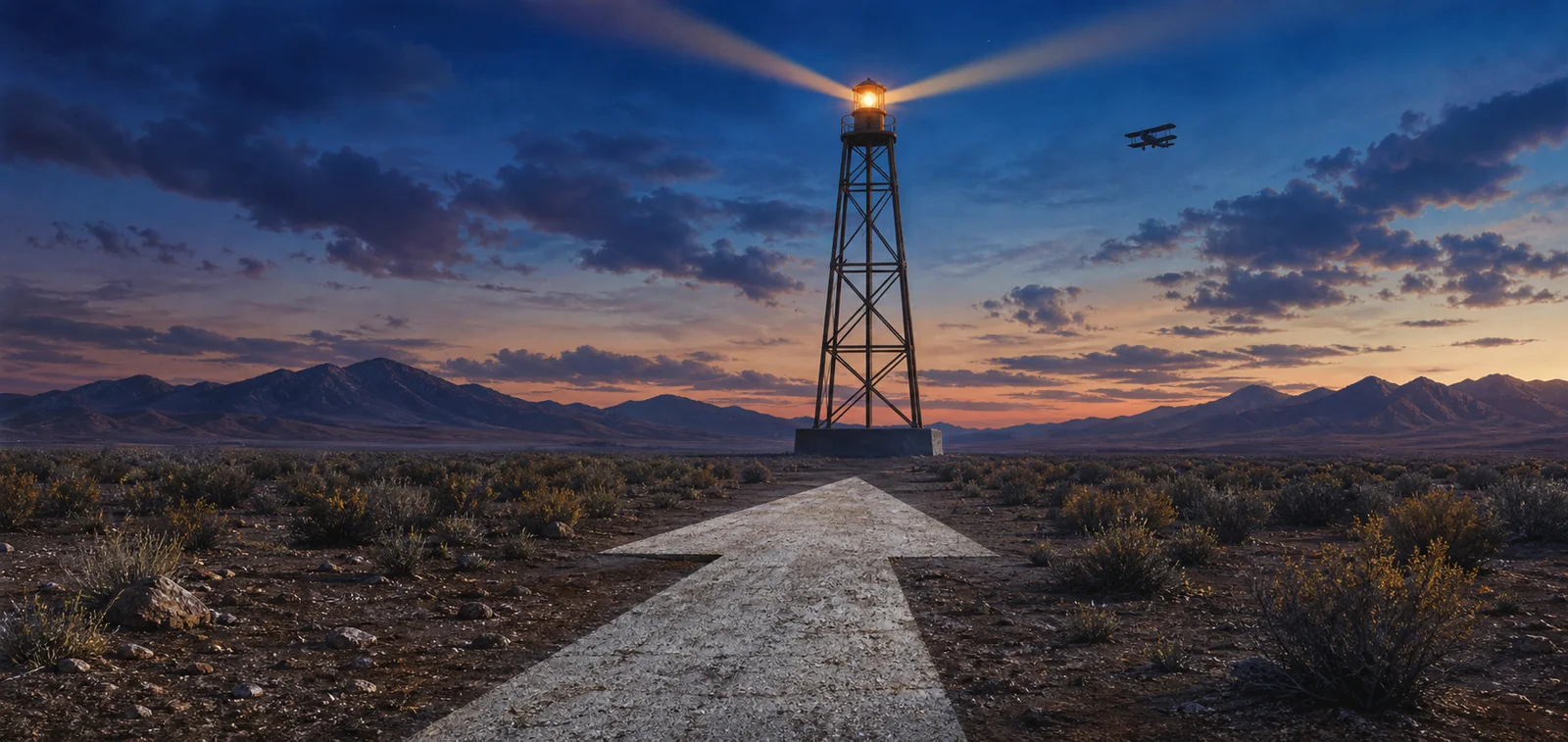
    Editorial illustration of a concrete directional arrow leading to a 1920s-style airway beacon at dusk in a western desert.
    Editorial illustration, not a depiction of a particular historic installation.

    Before electronic navigation, the ground had to give directions

    Early air-mail pilots often navigated visually, following railroads, rivers and towns. Night flying made that method especially precarious. The National Air and Space Museum describes a 1921 cross-country test in which bonfires were meant to help pilots find the route; only one of the two mail planes completed the trip after an Omaha fire was left unlit. The episode helped make the case for a more reliable, built system of guidance.

    That system became the lighted airway. The Smithsonian records the first lighted airway beacon in 1923, and the Federal Aviation Administration says the standardized installations were typically placed about 10 miles apart. A 51-foot tower carried a powerful rotating light, while two course lights pointed forward and backward along the route. The lights could flash a code identifying the beacon site.

    Why the arrows were so enormous

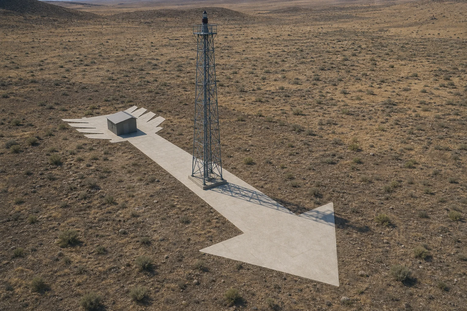
    The lights worked at night. By day, pilots needed a simpler cue: the tower usually stood in the center of a concrete arrow about 70 feet long, according to the FAA’s historical account. The arrow pointed toward the next beacon. Where a generator shed was needed, it sat at the feather end of the arrow.

    Editorial illustration of an airway beacon tower, a long concrete arrow and a small generator shed in a high-desert landscape.
    Editorial illustration of the basic arrangement described in FAA history; it is not a survey of one site.

    That is why the surviving shapes can feel so delightfully oversized. They were not signs for motorists. They were a high-contrast, pilot-facing instruction written at landscape scale, intended to be read from above when a moving aircraft did not have the luxury of stopping to ask for directions.

    A chain of small lighthouses

    The concrete arrows were only one part of a network. The Air and Space Museum says that the 1926 Air Commerce Act accelerated beacon construction, and that acetylene-powered beacons with Fresnel lenses appeared along air-mail airways. By 1946, it reports, 2,112 beacons operated on 124 U.S. airways.

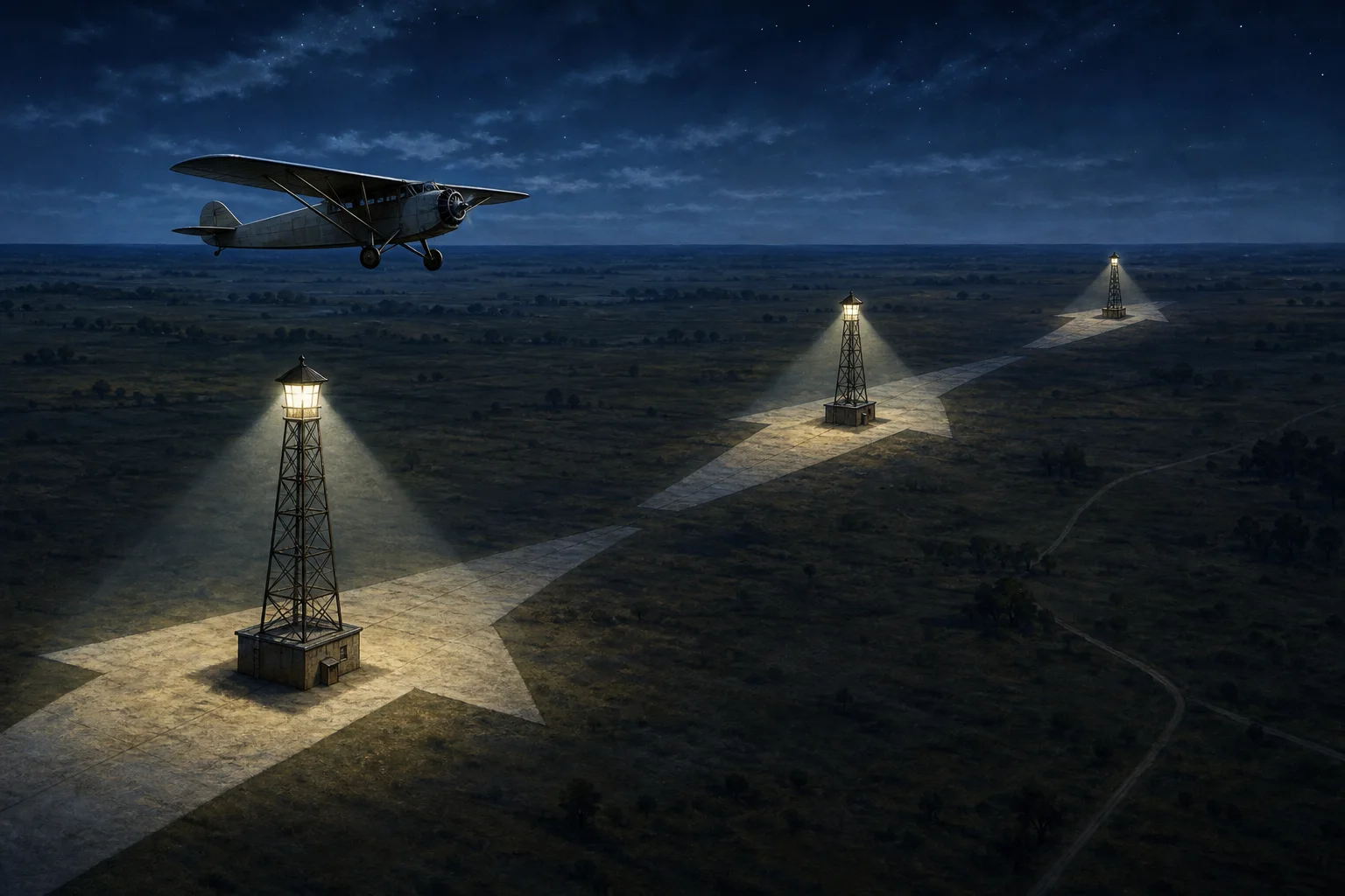
    Editorial illustration showing a small mail plane following a line of illuminated airway beacon towers and concrete arrows across a nighttime plain.
    Editorial illustration of how repeated beacon sites could make a route legible at night.

    It is tempting to describe the arrows as relics from a time before navigation existed. The more interesting truth is that they were navigation: an ambitious, visible network made from light, concrete and a pilot’s ability to see the next point in the chain. Radio navigation gradually made the beacons obsolete, and the Smithsonian says the last federal airway beacon was decommissioned in 1972. Some towers and arrows remain, though, turning up as quiet reminders that the first national air routes once had to be drawn directly onto the land.

    Sources

  • In Oga, Japan, the New Year’s Visitors Wear Straw, Masks and a Very Serious Message

    In Oga, Japan, the New Year’s Visitors Wear Straw, Masks and a Very Serious Message

    This article contains original editorial illustrations. They are not archival images or documentary evidence of the ritual.

    On the Oga Peninsula in northern Japan, the most emphatic New Year’s visitors do not arrive with a card. They arrive in straw raincoats and carved-looking masks, calling into homes as part of the local Namahage tradition.

    The masks can look alarming to an outsider, which is part of why the custom travels so well in photographs and headlines. But “terrifying monsters invade a village” is the wrong frame. In Oga, Namahage is a community ritual: local participants take on the role of visiting deities, households receive them, and the encounter carries reminders about work, conduct and the year ahead.

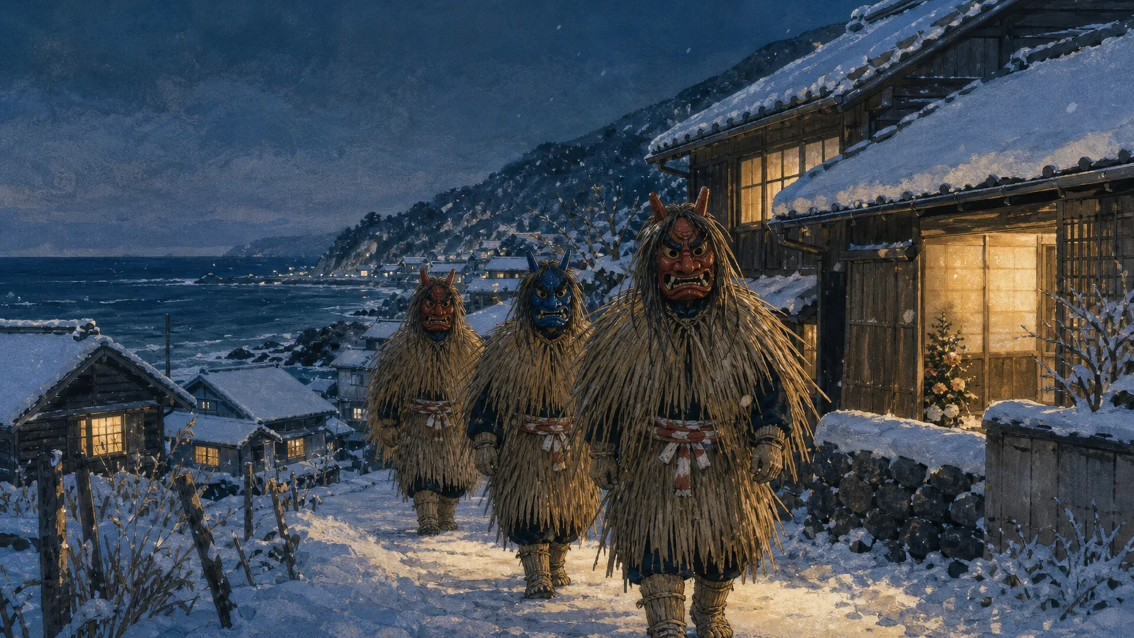
    Editorial illustration of three straw-clad Namahage visitors walking through a snowy coastal village at dusk.
    Original editorial illustration. It is not a depiction of a particular village, household or historical event.

    The point is a visit, not a scare

    UNESCO describes Namahage as one expression within Japan’s wider Raiho-shin traditions: ritual visits by masked and costumed deities around a new year or seasonal turning point. The organization says these practices grow from folk beliefs that visitors from beyond the community bring good fortune. Locals performing the roles move through homes, admonish idleness and encourage children to behave well; hosts offer a special meal before the visitors continue on.

    Oga’s Namahage is most closely associated with New Year’s Eve. The Namahage Museum calls it a union of the local folk custom and a Shinto festival. Its description is practical rather than spooky: young men in masks and straw garments call at village homes, including those of new wives and children, and urge them to study, work hard and follow their families’ guidance. Other household members answer on their behalf.

    That structure matters. The frightening face is a role, and the exchange is social. UNESCO’s record of Oga’s nomination describes a meal and conversation with the householder before the visitors offer wishes for the new year. The ritual’s force comes from everyone knowing the script—and from a community deciding that the year should begin with a very theatrical check-in.

    One name, many local versions

    “Namahage” is not a single standardized costume. Oga’s official cultural site notes that masks differ from village to village. The Namahage Museum says masks actually used across Oga appear in more than 150 locations. Their faces, materials and accompanying details can reflect place and local industry, according to the Oga–Ogata Geopark.

    Editorial illustration of red and blue Namahage masks with straw garments being assembled in a workshop.
    Original editorial illustration of costume-making materials. The masks are imaginative, not documentation of specific Oga designs.

    This variety is a useful guardrail against treating the tradition as a costume category. A red mask and a blue mask may be familiar shorthand, but individual communities preserve their own practices. Oga’s Namahage was designated an Important Intangible Folk Cultural Property of Japan in 1978, and the broader Raiho-shin element was inscribed on UNESCO’s Representative List of the Intangible Cultural Heritage of Humanity in 2018.

    Folklore is part of the story

    Accounts of Namahage’s origins are not settled history. The museum explicitly says that much remains unknown about how the Oga custom began. The Oga–Ogata Geopark, for example, presents a local legend about ogres building the stone steps at Goshado; it labels that account as legend. That distinction is worth keeping: the ongoing ritual is documented, while explanations for its deeper beginnings belong to folklore and local interpretation.

    What is documented is the work of keeping the custom alive. UNESCO notes workshops on conduct and costume-making, and museums in Oga maintain displays and lectures. These are not minor logistics. In a living tradition, learning how to wear the straw, speak at the doorway and be welcomed inside is the knowledge being passed on.

    Editorial illustration of a household offering a meal tray to two straw-clad Namahage visitors on a winter evening.
    Original editorial illustration emphasizing hospitality within the ritual; it does not portray a real family or visit.

    A strange tradition with a very human job

    Namahage has all the visual ingredients of a ghost story: winter darkness, huge masks, straw and a booming entrance. Its actual purpose is more intimate. It gives a community a way to gather moral advice, hospitality, family transitions and hopes for a good year into one memorable visit.

    That is the odd genius of it. The most unusual person at the door is not an intruder at all. He is a neighbor carrying a role the village has agreed to preserve.

    Sources

  • Before Email, New York Sent Letters Through Underground Tubes

    Before Email, New York Sent Letters Through Underground Tubes

    All artwork in this article is an editorial illustration generated for WeirdNews.org. It is not archival evidence or a reconstruction of a particular postal station.

    Long before a message could disappear into a screen and arrive on another continent, some American letters took a more theatrical route: they were sealed into metal cylinders and shot beneath city streets by air pressure.

    In the late 19th and early 20th centuries, pneumatic mail networks linked post offices in several crowded U.S. cities. To a person feeding a canister into a hatch, the apparatus must have seemed half post office and half submarine. To the postal service, it was a practical answer to a very ordinary problem: getting mail across a traffic-clogged city quickly.

    A letter-sized ride through the underworld

    The first U.S. pneumatic mail service began in Philadelphia in 1893, according to the Smithsonian’s National Postal Museum. Boston, Brooklyn, New York, Chicago, and St. Louis followed. By 1915, those six cities had laid more than 56 miles of pneumatic tube beneath their streets.

    The system did not transmit a message the way a telegraph did. It moved the message itself. Clerks packed letters into a cylindrical carrier, loaded it into an airtight tube, and used compressed air to push it along. Depending on its direction, a carrier could also be drawn through by suction. The National Postal Museum says canisters could hold up to 600 letters and commonly traveled at about 35 miles per hour.

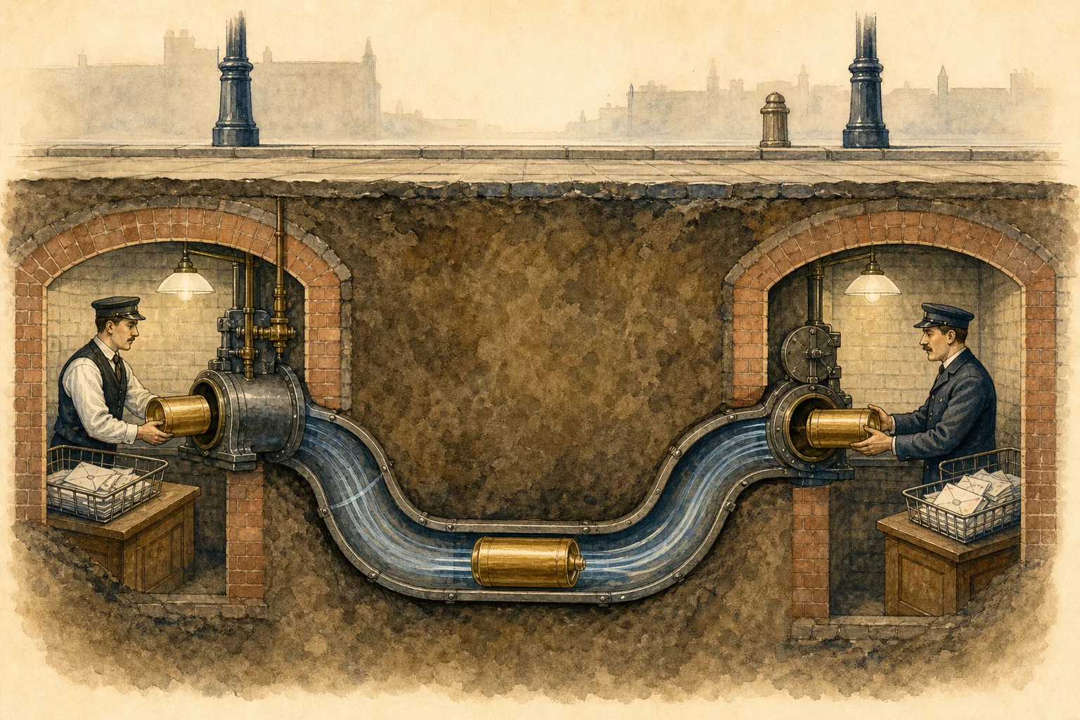
    Editorial cutaway illustration of a mail canister traveling through an underground pneumatic tube between two imagined post office basements.
    An editorial illustration of the basic idea: a sealed carrier, a tube, and air pressure. The real systems varied by city and installation.

    That speed mattered. A National Postal Museum account notes that a New York route that could take a mail wagon 40 minutes could be covered by tube in about seven. In a city where the last mile might be just a few blocks but traffic could be punishing, the tubes made an invisible shortcut.

    New York’s hidden postal machinery

    New York embraced the idea most enthusiastically. Its service began in 1897, and a line across the Brooklyn Bridge connected Brooklyn and Manhattan the following year. The museum says the city eventually had 27 miles of pneumatic tube. The system moved mail between postal facilities and railroad terminals, not directly from one household to another; a letter still needed people at both ends.

    That human detail is what keeps the story from becoming a Victorian version of email. Postal clerks worked around the clock in basement facilities, filling carriers, sending them, opening them at the other end, and putting their contents back into the larger flow of sorting and delivery. The tube was fast, but it was never magic. It was a carefully maintained handoff between workers and machinery.

    Editorial illustration of anonymous postal clerks loading a cylindrical mail carrier into an imagined early twentieth-century pneumatic tube machine.
    Editorial illustration, not a depiction of a specific historical facility.

    Ingenious, expensive, and stubbornly fixed in place

    The tubes had a built-in flaw: once they were underground, they had to share the underground with everything else. The National Postal Museum notes that existing sewage and gas lines limited where tubes could go and how large they could be. Water-table conditions created another challenge; parts of Philadelphia’s system had to be buried well below the water level.

    They were also costly. Private companies built the systems and rented them to the Post Office Department. The same feature that made the tubes wonderfully fast—their fixed physical route—made them awkward as cities and postal patterns changed. A truck could be sent somewhere new tomorrow. A steel tube under a street could not.

    During World War I, the Post Office Department suspended the service to conserve funds. After the war, it returned in New York and Boston, but the age of the tubes was closing. Larger mail volumes, changing streets, and more flexible motor vehicles gradually made the networks harder to justify. Boston’s service ended in 1950; New York’s ended in 1953 and was not restored.

    The strange part is that the idea never really vanished

    The citywide postal networks are gone, but their logic is familiar. Bank drive-throughs, hospitals, pharmacies, and big-box stores still use pneumatic dispatch systems for documents, cash, samples, and small supplies. They are smaller and less romantic than a 27-mile network under New York, but the satisfying premise is identical: put a small thing in a capsule, give the air a job, and let the walls do the rest.

    A Library of Congress photograph labeled N.Y. Post Office — Pneumatic Tube preserves one visual trace of that era. It is a useful reminder that the story is not a retrofuturist fantasy. For decades, parts of America’s postal system really did hum underfoot.

    Sources

  • The Pitch Drop Experiment Has Been Falling Since 1927—Nine Drops So Far

    The Pitch Drop Experiment Has Been Falling Since 1927—Nine Drops So Far

    Editor’s note: The images in this article are original editorial illustrations. They are not photographs of the University of Queensland apparatus or scientific evidence.

    In a glass funnel at the University of Queensland, a black substance that looks solid has been conducting one of science’s slowest demonstrations since 1927. It can feel hard and even shatter under a hammer, yet given enough time it flows.

    The substance is pitch, an extremely viscous fluid. In this experiment, “extremely” means that only nine drops have completed their descent in nearly a century. A tenth is still taking shape.

    A lecture demonstration with no convenient ending

    University of Queensland physics professor Thomas Parnell set up the apparatus in 1927. According to the university’s Physics Museum, he heated pitch, poured it into a sealed glass funnel, and then let it settle for three years. The funnel’s stem was cut in 1930, giving gravity a very long assignment.

    The first drop took roughly eight years to fall. For the first several decades, another drop arrived about every seven to nine years. The eighth and ninth took longer, about 13 years apiece, according to a University of Queensland account of the ninth drop.

    Editorial illustration of black pitch forming a long drop beneath a glass funnel, with faint silhouettes showing stages of its slow descent
    Original editorial illustration showing the idea of a drop changing over time; not a measured diagram or photograph.

    Why something hard can still flow

    Viscosity is a fluid’s resistance to flowing. Water has relatively low viscosity; honey resists flow more strongly. The pitch in Parnell’s funnel sits at an almost comical extreme. The Physics Museum says estimates put it at about 100 billion times more viscous than water.

    That number is an estimate for this sample and setup, not a universal constant for every material called pitch. Temperature matters greatly. The apparatus was created as a teaching demonstration rather than a tightly climate-controlled experiment. University records note that seasonal temperature changes affect the flow, and air-conditioning installed near the display helped slow later drops.

    The experiment therefore makes a useful point without requiring pitch to fit neatly into everyday categories. On a human timescale, it seems solid. On the experiment’s timescale, its continuing deformation is unmistakable.

    The drop that kept dodging its audience

    The long waits created a second, accidental experiment: could anyone catch a drop at the decisive moment?

    Former custodian John Mainstone repeatedly came close. University accounts say he missed the 1977 drop by a day and the 1988 drop after briefly leaving the display. In 2000, a webcam was watching—but a short power failure covered the crucial interval.

    The ninth behaved differently. Instead of cleanly breaking free, it slowly touched the older drop beneath it in April 2014. The university used time-lapse images to study the contact, then replaced the crowded beaker so the experiment could continue. That intervention is one reason a simple drop count hides a messier history: “falling” has not always meant a dramatic, free-falling plop.

    A record with an important qualifier

    Guinness World Records recognizes the Queensland Pitch Drop Experiment as the longest-running laboratory experiment. That wording is best treated as a specific record title, not a claim that no older scientific apparatus or long-term observation exists anywhere. The University of Queensland also describes the piece as an ongoing teaching experiment and museum object.

    The funnel still contains enough pitch for future drops. Predictions are necessarily loose because temperature, the changing amount of material, and the geometry of each forming drop affect the timing. The honest answer to “When will the tenth fall?” is the answer this apparatus has always demanded: keep watching.

    What the experiment actually proves

    • Pitch can behave like a hard solid during a quick test and still flow under sustained stress.
    • Our everyday labels depend partly on the timescale of observation.
    • A simple demonstration can become scientifically interesting in new ways when its surroundings and maintenance history affect the result.

    It does not prove the common myth that old window glass sags because glass is a slow liquid. The pitch in this apparatus was selected precisely because it flows on a timescale that can be observed across years. The experiment’s weirdness is real enough without borrowing claims from unrelated materials.


    Sources

  • How Oxford’s Electric Bell Has Kept Ringing Since 1840

    How Oxford’s Electric Bell Has Kept Ringing Since 1840

    In a glass case at the University of Oxford, a metal ball no bigger than a pea keeps making the same short trip. It touches one brass bell, crosses a narrow gap, touches a second bell, and heads back again. The mechanism was set up in 1840. Oxford’s Department of Physics says it still oscillates about twice each second.

    The apparatus is usually called the Oxford Electric Bell or the Clarendon Dry Pile. Its longevity sounds like a perpetual-motion story, but it is nothing of the kind. The bell is an unusually frugal electrical machine: it uses high voltage, an extraordinarily small current, and a simple electrostatic shuttle to spend its stored energy almost grudgingly.

    Two batteries, two bells, one restless ball

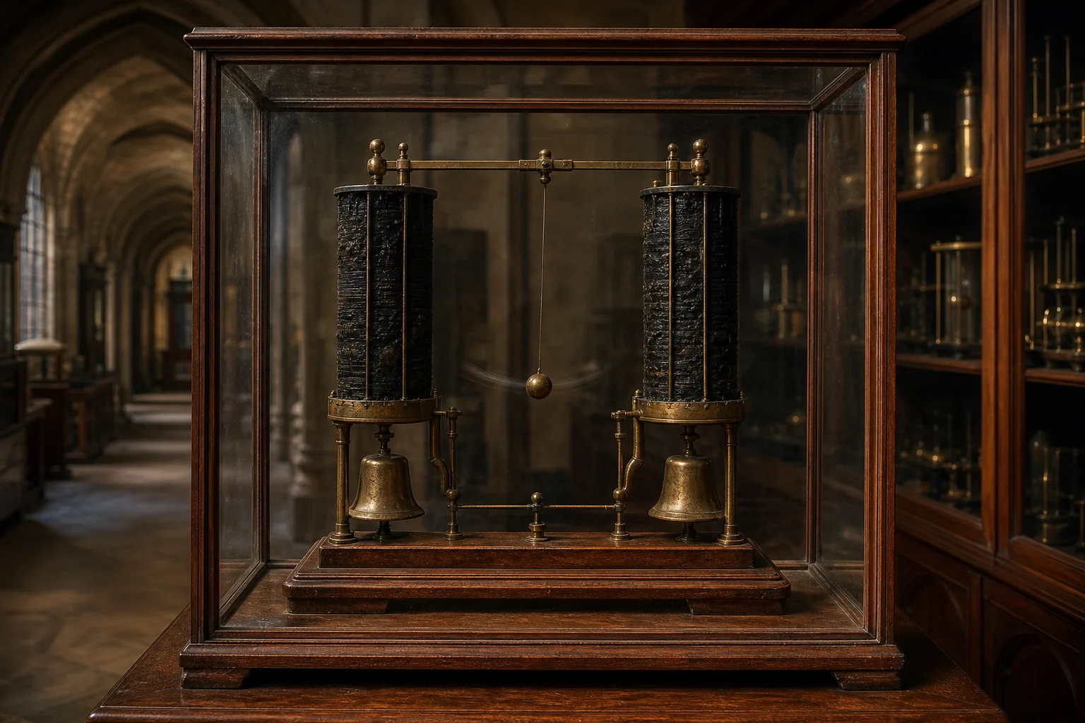
    The visible arrangement is beautifully spare. Two tall dry-pile batteries stand side by side. Each connects to a brass bell, giving the bells opposite electrical charges. A metal sphere about four millimeters across hangs between them on a thread.

    When the sphere touches one bell, it picks up that bell’s charge. Like charges repel, so the newly charged sphere is pushed away from the bell it has just touched. At the same time, it is attracted toward the oppositely charged bell. On contact with the second bell, its charge changes and the process reverses. The ball becomes a tiny courier, carrying charge back and forth while tapping the bells on every crossing.

    Editorial illustration of a metal sphere moving between two oppositely charged brass bells beneath dry-pile batteries
    How the shuttle works: each contact changes the sphere’s charge, sending it toward the opposite bell. Original explanatory illustration; not a photograph or scientific record.

    A 2025 demonstration published in The Physics Teacher reproduced the principle with modern, readily available materials. The authors describe the motion as an electrostatic effect driven by charge on the battery terminals. Their replica helps confirm that the famous Oxford apparatus does not need a conventional motor or a large continuous current to keep the shuttle moving.

    The trick is high voltage and almost no current

    Most battery-powered devices draw enough current to do conspicuous work: heating a wire, turning a motor, lighting a screen. The Oxford bell has a much smaller assignment. Its clapper is light, the distance is short, and each trip transfers only a minuscule amount of charge.

    In a history of Oxford’s Clarendon Laboratory, physicist A. J. Croft described the apparatus as operating at roughly 2,000 volts but only about one nanoampere. Those figures are estimates rather than a promise about its present output, but they capture the central point. Voltage measures electrical potential; current measures the flow of charge. The bell has plenty of the first and vanishingly little of the second.

    That tiny current is why “still running” does not mean “free energy.” The batteries are continually surrendering stored chemical energy, just at a rate so low that the process has outlasted generations of laboratory equipment. Oxford estimates that the bells have been struck on the order of 10 billion times. The sound is muffled by the display case, so visitors see the motion rather than hear a 186-year concert.

    What is inside the dry piles?

    This is where documentation ends and informed reconstruction begins.

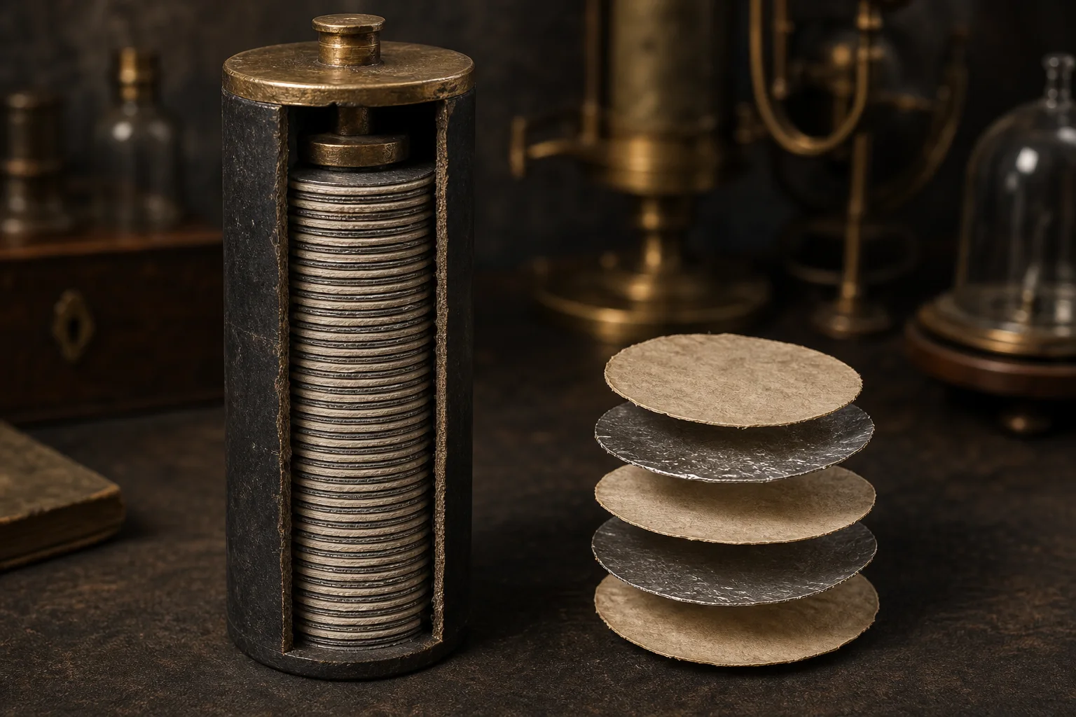
    Oxford says the two battery columns are covered with an insulating layer of sulfur. Their exact internal construction remains unknown. Similar early nineteenth-century “dry piles” were assembled from large numbers of very thin metal-and-paper layers. The university’s exhibit notes that the Oxford piles may contain alternating foil and paper coated with manganese dioxide. Croft favored a related historical recipe involving roughly 2,000 pairs of zinc and “silvered” paper discs.

    Those are plausible comparisons, not an inventory of the sealed Oxford batteries. The device cannot be opened without ending—or at least radically altering—the very long-running performance people want to understand. Its survival has therefore protected its mystery.

    Conceptual cutaway illustration of a sulfur-sealed dry-pile battery containing many thin alternating paper and metal discs
    A conceptual dry-pile cutaway based on period designs. The exact materials and layer arrangement inside Oxford’s sealed batteries are not known. Original explanatory illustration.

    The word dry can also mislead. Croft argued that the pile would not work if it were absolutely moisture-free. In his account, the sulfur coating helped retain a small amount of water needed for the electrolyte while limiting leakage and unwanted chemical reactions. It is a sealed, slow electrochemical system—not a stack of perfectly dry inert wafers.

    A three-year prediction that missed by two centuries

    The apparatus carries a handwritten note saying it was “set up in 1840,” although Oxford records that it may have been constructed about 15 years earlier. Croft’s history reproduces an 1841 letter to Oxford physicist Robert Walker from instrument maker Francis Watkins. Watkins doubted that the residual power could keep the clapper moving for more than three or four years.

    That was a reasonable expectation based on the instruments of the period. It was also spectacularly wrong. The sulfur seal, the enormous number of thin battery layers, the microscopic current draw, and the light electrostatic shuttle combined into a machine whose useful lifetime was far outside ordinary experience.

    Why it is not perpetual motion

    Oxford explicitly rejects the popular “perpetual motion” label. The bell has an energy source: its dry-pile batteries. Every swing dissipates a little energy through electrical resistance, air drag, sound, deformation, and friction at the suspension. Eventually the chemical potential will become too weak to move the clapper, or a mechanical part will fail first.

    The uncertainty is not whether it will stop, but how and when. Croft thought the clapper might wear out before the electrochemical energy was exhausted. That, too, is a hypothesis. The sealed apparatus has made patience part of the experiment.

    The weird lesson in the glass case

    The Oxford Electric Bell lasts because it does almost nothing, extremely efficiently, for an extremely long time. It turns a tiny flow of charge into a visible rhythm and makes the difference between voltage, current, power, and energy impossible to ignore.

    Its greatest mystery is also carefully bounded. The operation is understood. The broad family of battery technology is understood. What remains uncertain is the exact recipe inside two sealed nineteenth-century columns and which component will finally determine the ending. Until then, the little sphere keeps crossing the gap.

    Sources

  • Namibia’s Fairy Circles Keep Their Secret: Termites, Thirst, or Both?

    Namibia’s Fairy Circles Keep Their Secret: Termites, Thirst, or Both?

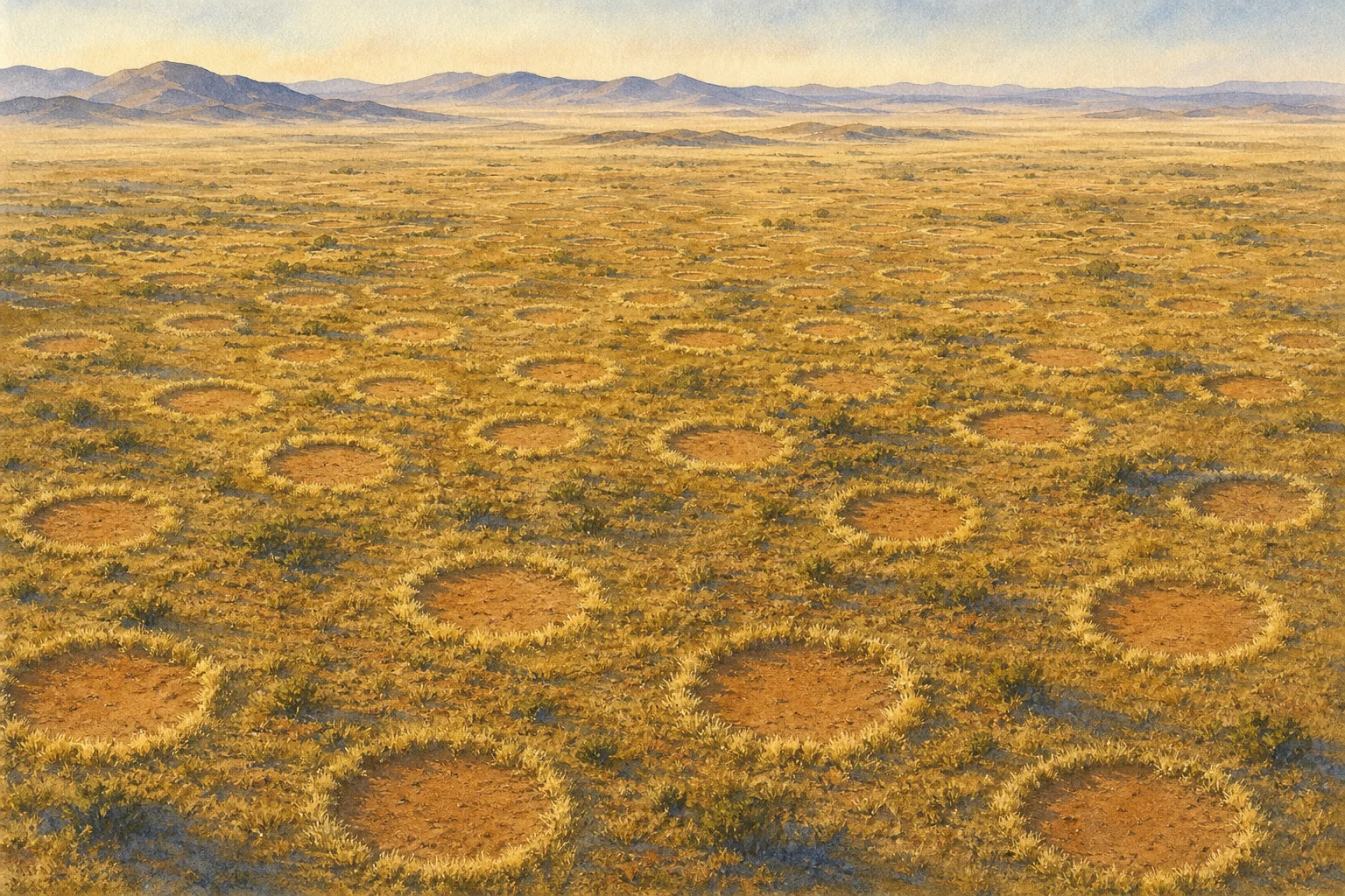
    Across the dry grasslands along the eastern edge of the Namib Desert, bare circles repeat across the landscape with an order that looks almost designed. Many have a rim of taller grass. In dense fields, the gaps can settle into a roughly hexagonal spacing, as though the plants—or something beneath them—had agreed on personal boundaries.

    They are called fairy circles, but the name is folklore, not an explanation. The circles are real natural features, and scientists have spent decades testing what makes them. The durable weirdness is that the leading explanations still point in different directions.

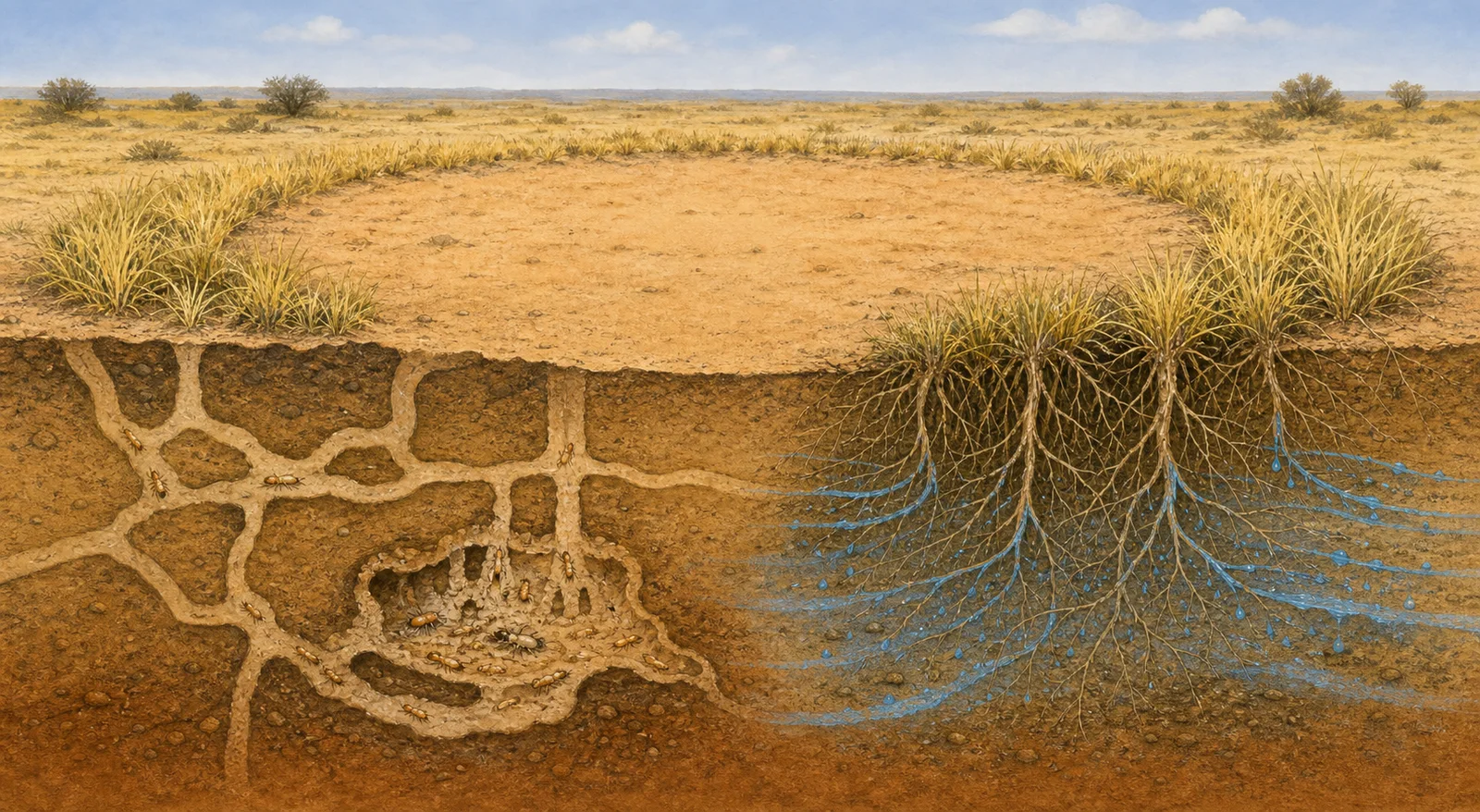
    Editorial cutaway illustration contrasting sand-termite tunnels with grass roots drawing moisture around a Namib fairy circle
    Two leading ideas involve sand termites and competition among grasses for scarce water. This is an original editorial illustration, not a field image or scientific reconstruction.

    What is documented

    The circles occur in arid, sandy grasslands in southern Africa. A 2013 field and remote-sensing study described millions of barren patches, commonly a few meters across, often surrounded by taller perennial grasses. The researchers also found that soil moisture inside a bare circle decreased toward its grassy edge. That pattern is consistent with roots around the perimeter drawing on water stored beneath the center.

    The circles are not simply dead stains. They can appear, persist and eventually fade as vegetation returns. Their repeated spacing is also nonrandom. Any successful explanation therefore has to account for several things at once: why plants disappear from the middle, why taller grass often grows around the rim, and why neighboring circles keep such regular distances.

    Explanation one: termites as ecosystem engineers

    In a Science paper published in 2013, ecologist Norbert Jürgens argued that the sand termite Psammotermes allocerus creates the circles by removing short-lived vegetation after rain. With fewer plants transpiring from the center, water can remain in the sandy soil. The stored moisture can then support the perennial grass ring and help a termite colony survive long droughts.

    Under this interpretation, each bare patch is less a scar than a water-harvesting ecosystem engineered from below. Competition between neighboring termite colonies could also help explain the broad spacing between circles.

    That is a scientific hypothesis backed by field observations, not a universally accepted verdict. Other researchers have questioned whether the presence of termites proves they initiate every circle, and whether termite activity alone explains the landscape-scale geometry.

    Explanation two: thirsty grass organizes itself

    A competing body of research treats the circles as an emergent pattern produced by plants competing for extremely limited water. In this view, grasses close to an established clump benefit from local conditions, while their roots pull water from farther away. The push and pull between short-range cooperation and longer-range competition can generate evenly spaced vegetation patterns without a planner.

    The 2013 study by Michael Cramer and Nichole Barger found that circle occurrence and geometry tracked environmental conditions such as water availability and soil properties. A later field study, published in 2022, followed rainfall across Namib sites and reported that new grasses inside circles died from water stress without the root damage expected from termite feeding. Its authors concluded that plant water competition, rather than termite herbivory, caused the observed grass death at their study sites.

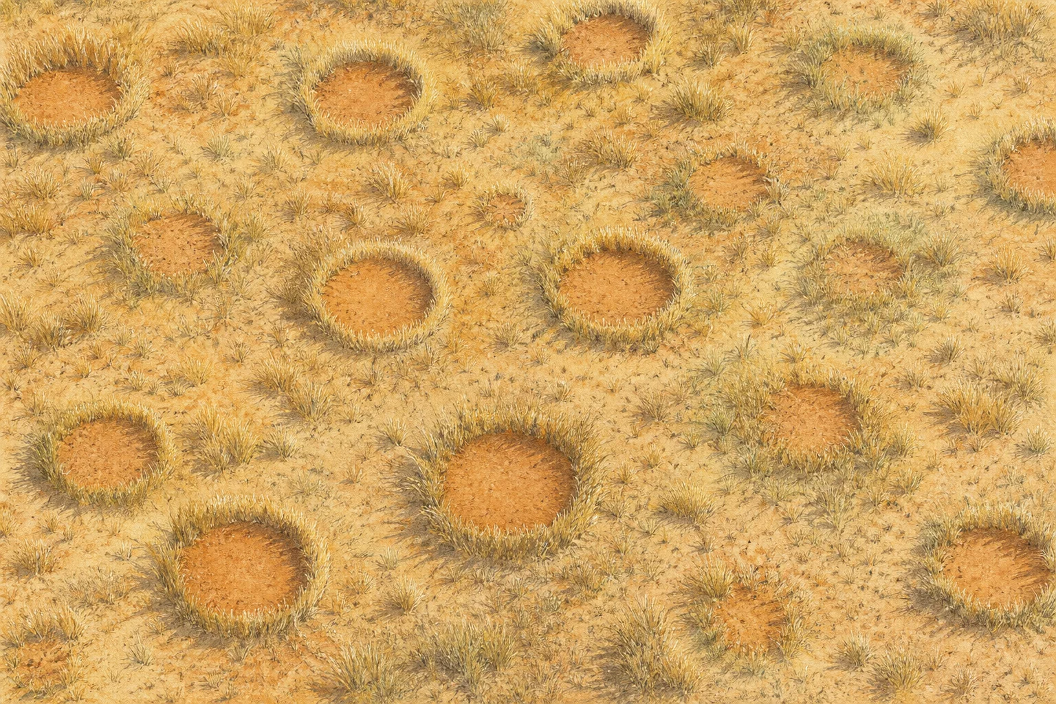
    Top-down editorial illustration of Namib fairy circles at different stages, from small gaps to mature rings and recolonizing patches
    Circles can emerge, persist and fade as grassland conditions change. Original editorial illustration; not satellite imagery or scientific evidence.

    A clue the circles are not one giant grass plant

    Another possible explanation once proposed that the grass rim could be a single clone expanding outward while dying in the center, similar to some familiar rings of vegetation. Genetic testing published in Communications Biology in 2020 did not support that idea for the Namib circles it sampled. The grasses around almost every tested circle belonged to more than one genetically distinct individual.

    That result removed one tidy answer. It also sharpened the real question: how do many separate organisms generate a pattern that lasts much longer than the individual grass plants marking its edge?

    Could both mechanisms matter?

    Termites and plant competition are not necessarily mutually exclusive at every scale. A 2017 modeling study in Nature found that interactions between vegetation feedbacks and territorial social-insect colonies could reproduce multiple features seen in patterned drylands. Its broader conclusion was that more than one self-organizing mechanism may operate together.

    That does not mean “both” is the final answer for every Namibian circle. Different studies examine different sites, rainfall events, time spans and measurements. Evidence that explains freshly dying grass may not by itself explain decades of circle persistence; finding termites beneath a circle does not automatically prove they started it.

    The honest answer is more interesting than a premature solution. Namibia’s fairy circles are documented ecology wearing a supernatural nickname. Scientists can measure their soil, map their spacing, identify their grasses and inspect the creatures below—yet the full chain of cause and effect remains under debate.

    Sources

  • How a Wombat’s Soft Intestine Manufactures Cubes

    How a Wombat’s Soft Intestine Manufactures Cubes

    Bare-nosed wombats produce one of the animal world’s most geometric calling cards: dry droppings with flat faces and distinct corners. The cubes are not cut after they leave the body, and the wombat does not have a square exit. Research points instead to an unusual manufacturing process inside the last portion of a long, slowly working intestine.

    The shape matters beyond its novelty. Wombats place droppings on prominent objects such as rocks and logs to communicate within their home ranges. A compact, flat-sided piece is less likely to roll away than an ordinary pellet—an appealing explanation for why cubes might be useful. But researchers say the evolutionary reason for the shape is not fully settled, so usefulness should not be confused with proof of why it evolved.

    The corners form before exit

    A 2021 study in the journal Soft Matter combined dissections, tissue measurements, laboratory tests, and mathematical modeling. The team found that cube formation occurs within the final 17 percent of the intestine. That ruled out the once-popular notion that a square sphincter stamps the feces on the way out.

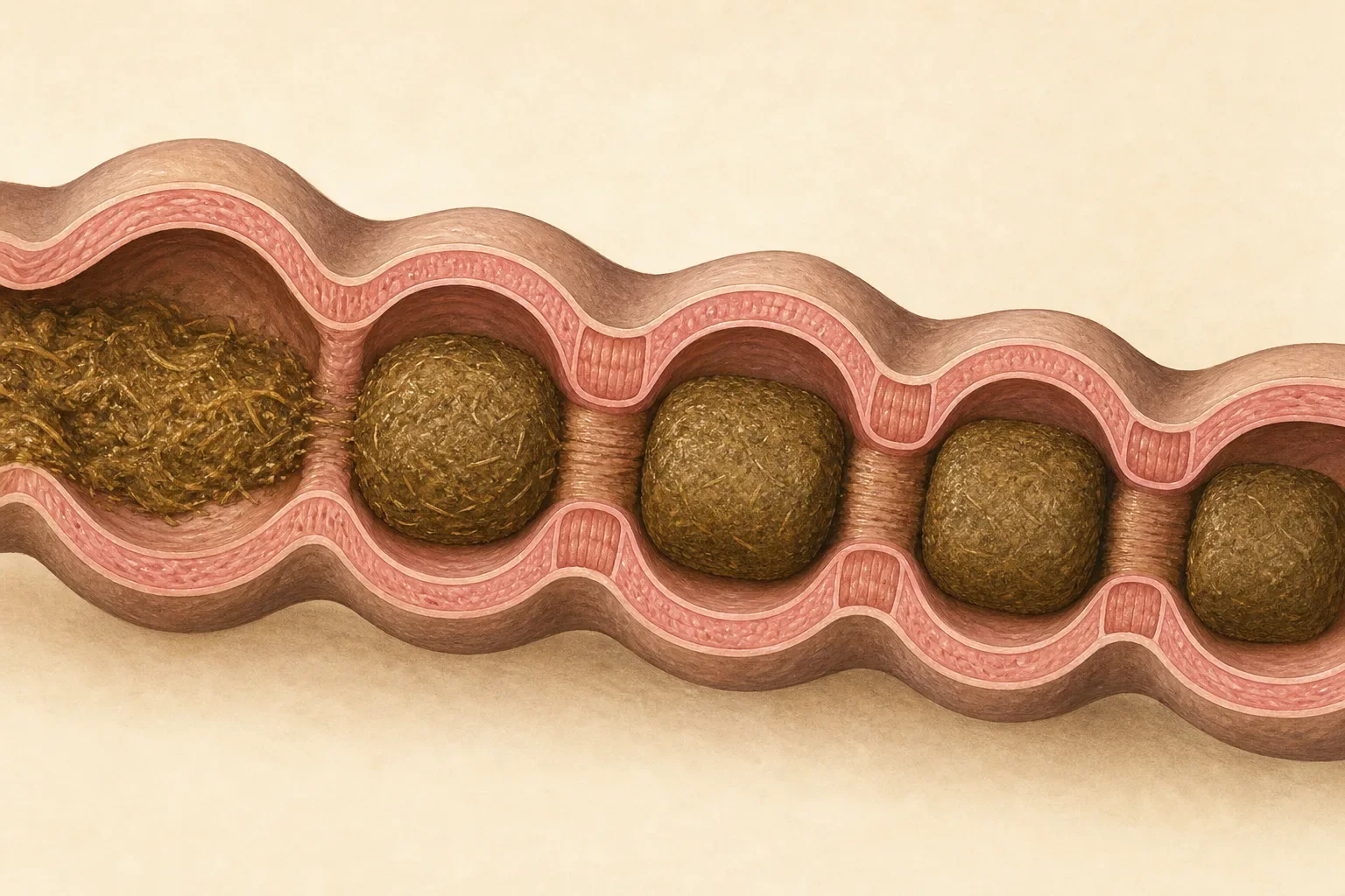
    Tasteful explanatory illustration of rounded cube-like segments being shaped inside a soft intestinal tube
    AI-generated explanatory illustration of the proposed shaping process. It simplifies anatomy and is not a medical or veterinary image.

    The wombat colon is not equally stretchy all the way around. The researchers identified regions of different thickness and stiffness in its cross-section. Their measurements found some regions about twice as thick and roughly four times as stiff as others. When the intestinal wall contracts around drying material, those mechanical differences cause parts of the contents to move and deform at different rates. In the team’s model, that uneven action creates flatter faces and sharper corners.

    This is subtly different from imagining a rigid square mold. The intestine remains soft and flexible. Corners emerge from repeated contractions of an elastic tube with alternating mechanical properties, while the material inside becomes drier and firmer. The study’s simulations produced squarer shapes when the contrast between stiff and soft regions increased under suitable conditions.

    Dryness is part of the geometry

    A wombat’s digestive tract is extraordinarily long relative to its body. University of Tasmania researchers describe an intestine around 10 meters long, about ten times a typical wombat’s body length. Digestion can take several times longer than it does in humans, allowing the animal to extract nutrients and water from tough, fibrous food.

    That extended drying process helps the final pieces hold their shape. The university reported that wombat feces are substantially drier than human feces and can become less sharply cubed in wetter conditions. Shape may therefore offer researchers a noninvasive clue about hydration or health, although a single dropping is not a diagnosis.

    The researchers studied bare-nosed, or common, wombats. It is safest not to assume every wombat species produces identical geometry under every condition. Even in the studied animals, “cube” is a useful description rather than a claim that each piece is a perfect mathematical solid with identical edges.

    A soft-tube manufacturing lesson

    The finding interested physicists and engineers because factories generally make cubes with rigid molds, cutting, or extrusion through a shaped opening. A wombat demonstrates another route: vary the stiffness of a soft tube and coordinate contractions while the material changes consistency.

    The Soft Matter authors suggested potential relevance to manufacturing, clinical pathology, and digestive health. Those are possible applications, not established products or treatments. The immediate achievement was explaining how corners can arise in a damp, deformable biological system without a hard-edged mold.

    That explanation makes the phenomenon more interesting, not less. The cube is the endpoint of anatomy, mechanics, water extraction, and behavior working together. A wombat’s oddest signature is not a novelty stamped at the last second; it is assembled gradually by a soft organ whose uneven flexibility turns an ordinary tube into a remarkably precise shaping machine.

    Sources

  • Antarctica’s Blood Falls Is a Briny Window Into Life Beneath Ice

    Antarctica’s Blood Falls Is a Briny Window Into Life Beneath Ice

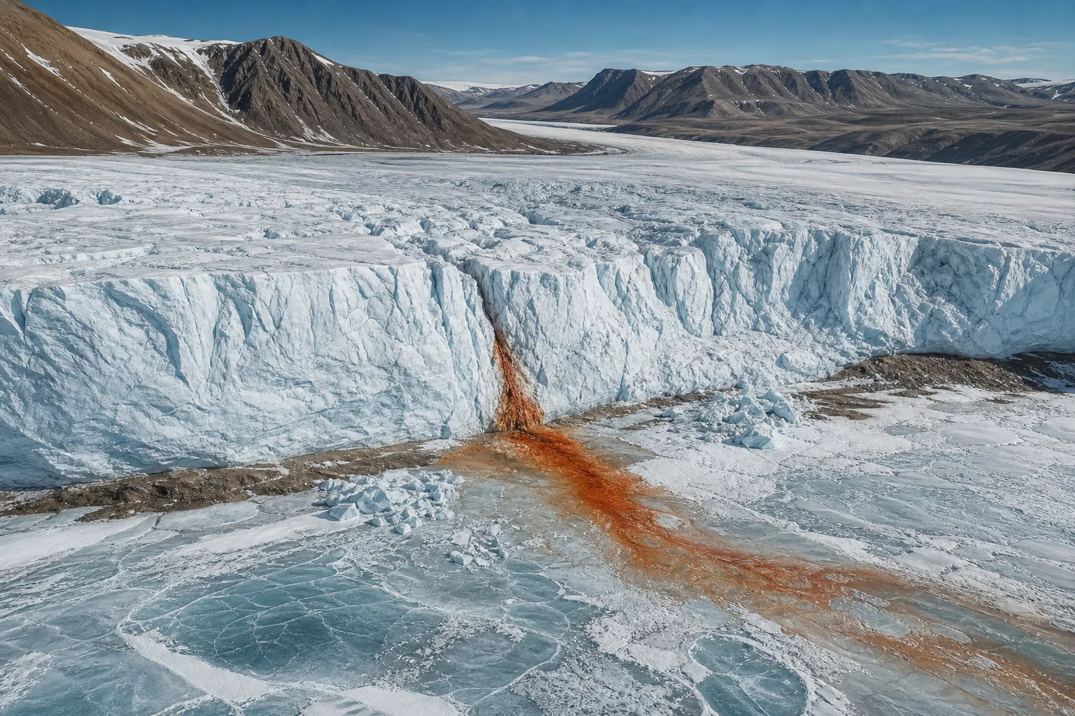
    At the end of Antarctica’s Taylor Glacier, a rusty red-orange stain spills across blue-white ice toward Lake Bonney. The feature is called Blood Falls, but its color does not come from blood, and it is not a conventional waterfall. It is the visible outlet of an iron-rich, extremely salty liquid-water system hidden inside and beneath a glacier.

    That alone is a puzzle. Taylor Glacier lies in the McMurdo Dry Valleys, one of Earth’s coldest and driest landscapes. A 2017 study described a mean annual air temperature around minus 17 degrees Celsius and limited surface melting. Yet geophysical surveys found a zone of liquid brine within the cold glacier feeding the intermittent discharge.

    Salt and freezing help keep the water moving

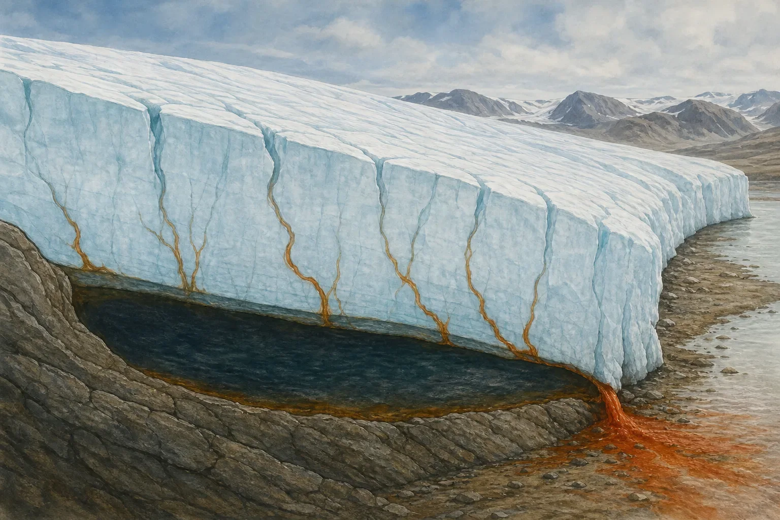
    Researchers used radio-echo sounding to map the brine rather than treating the red surface stain as the whole system. Their observations support a network of basal crevasses through which pressurized subglacial brine is injected into the ice and routed toward the terminus. The system is not an open cavern shaped like a giant underground lake; it is a distributed, salty hydrologic network.

    Illustrated cutaway of dark brine beneath a pale glacier feeding narrow channels toward a rust-colored outlet
    AI-generated conceptual illustration of the proposed brine-routing system. It simplifies the geometry and is not a scientific survey image.

    Two physical effects help explain why liquid can persist. Dissolved salts lower water’s freezing point. Freezing also releases latent heat, providing localized warming. The 2017 paper concluded that elevated salinity and latent heat together allow the brine to remain mobile in subglacial and englacial environments even while the surrounding glacier stays cold.

    The color develops when iron-rich brine reaches the surface and encounters oxygen. Iron compounds oxidize, producing the red-orange material that stains the ice. The result looks theatrical from a distance, but the chemistry is closer to rusting than bleeding.

    A hidden habitat in cold, dark brine

    Blood Falls is also important because the outflow has revealed a microbial community adapted to cold, darkness, high salinity, and little oxygen. NASA’s astrobiology reporting describes organisms that survive without sunlight for photosynthesis by using chemical reactions involving sulfur and iron compounds. That makes the site a natural laboratory for asking how life can persist when familiar surface energy sources are absent.

    Scientists are careful not to turn that analogy into evidence of extraterrestrial life. Blood Falls does not prove that organisms exist beneath Martian ice or inside the icy moons of the outer Solar System. It shows something narrower and valuable: on Earth, a cold, salty, lightless system can remain liquid and biologically active under conditions once assumed to be inhospitable.

    The origin story of the brine has developed as evidence improved. NASA’s Earth Observatory summarized a long-standing interpretation in which ancient seawater or a saltwater lake occupied Taylor Valley before advancing ice trapped and concentrated it. Later studies mapped where brine exists within the glacier and how it can move. Details of the system’s age, geometry, and geochemical history are scientific questions, not reasons to present a single dramatic reconstruction as settled fact.

    The visible stain is only the outlet

    Blood Falls earns attention because of its color, but the stranger feature is invisible: liquid threading through a glacier that has little surface melt. The surface apron can grow with new discharge and partly degrade during warmer periods, so its appearance changes. What a visitor or satellite sees is a temporary expression of a much larger system.

    Seen that way, the name is almost misleading. The remarkable thing is not a glacier “bleeding.” It is the combination of salt, pressure, fractures, phase changes, iron chemistry, and microbial metabolism operating beneath an Antarctic ice mass. The red stain is a window into that hidden machinery—vivid enough to draw the eye, but only the final step of the story.

    Sources

  • Death Valley’s Sailing Stones Move on Rafts of Ice Thin Enough to Miss

    Death Valley’s Sailing Stones Move on Rafts of Ice Thin Enough to Miss

    For decades, the tracks on Racetrack Playa looked like evidence of an impossible commute. Stones sat at the ends of long grooves in the mud, yet nobody had watched them travel. Some paths ran nearly parallel; others curved, crossed, or stopped while a nearby stone kept going. The desert offered plenty of suspects—violent wind, slippery algae, thick floating ice—but not a witnessed mechanism.

    The first direct scientific observations arrived during the winter of 2013–2014. Researchers had installed a weather station, time-lapse cameras, and 15 specially prepared limestone rocks containing GPS loggers. Then a shallow pond formed on the playa, froze on cold nights, and began breaking apart under the late-morning sun.

    The push came from ice—but not the ice people expected

    The answer was surprisingly delicate. In a 2014 peer-reviewed study, Richard Norris and colleagues reported that sheets of “windowpane” ice only about 3 to 6 millimeters thick could push stones when three conditions lined up. The playa first needed enough water to create a shallow pond. A cold night had to freeze its surface. Then sunlight and light wind had to arrive together as the ice softened and fractured.

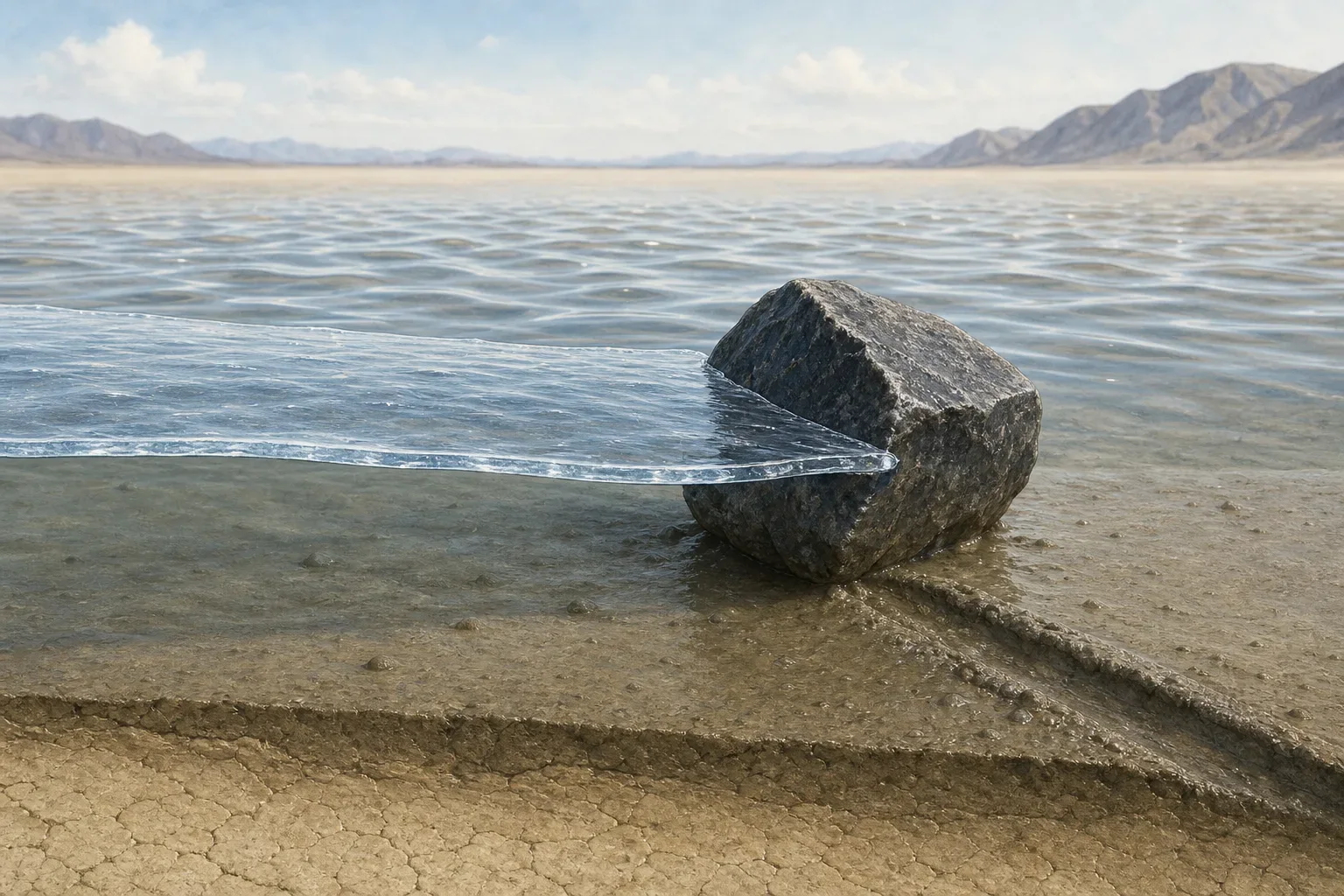
    Illustration of a thin floating ice panel pressing against a stone in shallow water on a desert playa
    AI-generated explanatory illustration: thin floating ice, driven by light wind and moving water, can press against a stone on the slick playa surface. It is not observational evidence.

    Large floating panels—tens of meters across despite being only millimeters thick—were driven across the pond by light winds and flowing water. When a panel met a rock that projected high enough above the water, the ice pressed against it and nudged it across the wet mud. The moving rock carved the trail that would become obvious after the water and ice disappeared.

    This was not a dramatic sprint. The observed stones moved at roughly walking pace or slower, commonly a few meters per minute. One directly watched movement on January 9, 2014 lasted about 18 seconds at around 1 to 2 meters per minute. GPS-equipped stones recorded longer events. Two rocks that started about 153 meters apart began moving within six seconds of each other on December 4, 2013, traveling more than 64 meters in 16 minutes.

    Why the mystery lasted so long

    Racetrack Playa is remote, and the necessary weather is rare. The National Park Service says the moving-rock phenomenon requires a precise sequence of rain, freezing temperatures, sun, and wind. Years can pass without a suitable event. Even when the stones do move, their slow motion is difficult to notice casually, and their new trails may stay hidden beneath muddy water until the pond is blown or evaporated away.

    The thinness of the ice also helped the process evade earlier explanations. Some hypotheses imagined rocks frozen into thick rafts that partly floated them off the lake bed. The observed mechanism did not lift the stones. Instead, broad but fragile ice panels supplied a gentle horizontal push while the wet clay reduced resistance.

    That fragility explains why neighboring tracks are not always identical. A panel can split when it strikes a stone or a fixed obstacle, disconnecting rocks that had been moving together. Low stones can be overridden by the ice, while taller ones catch its edge. Water depth, rock profile, ice fractures, wind direction, and the flow beneath the ice all influence which stones move and where they go.

    A solved mechanism, not a scheduled show

    The science explains how the sailing stones can move; it does not make the event predictable for visitors. The National Park Service warns that the playa surface is extremely fragile. Driving on it is prohibited, and walking on it when muddy leaves scars that can last for years. The rocks themselves should never be moved.

    What remains at Racetrack Playa is stranger than a supernatural story because it is so restrained: a temporary pond, a cold night, sunlight, a light breeze, and ice thin enough to look powerless. Given the right geometry and timing, those ordinary ingredients can reorganize stones across a desert floor—and leave the evidence long after the motion has stopped.

    Sources