Blog

  • At Wupatki, the Ground Sometimes Seems to Breathe

    At Wupatki, the Ground Sometimes Seems to Breathe

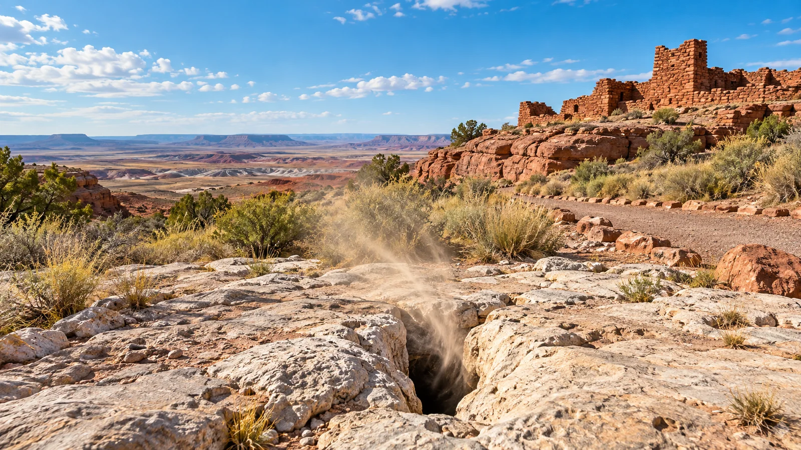
    Editorial illustration: A high-desert view inspired by Wupatki National Monument’s natural blowhole landscape.

    At the end of the trail behind Wupatki National Monument’s visitor center, the ground has an odd habit: air can move through a crack in the rock strongly enough for a visitor to feel it. The National Park Service calls these openings blowholes. Here, desert air moves between the surface and a deep, narrow network of fractures.

    The nearby Wupatki Pueblo is an important ancestral site for many Indigenous communities and a place that deserves careful, on-trail visiting. The blowhole belongs to that same protected landscape and sits along the pueblo trail, where the park says a 104-room community and a ball court make up the larger site.

    A deep, narrow fracture system

    NPS describes a near-vertical fault that cut through Kaibab Limestone and Moenkopi Sandstone tens of millions of years ago. Groundwater moving through the fault dissolved limestone and helped create a fracture system that extends for miles beneath part of the monument. Its narrow passages leave much of the underground shape beyond direct human mapping.

    The park’s estimate of roughly 7 billion cubic feet comes from measurements of airflow. It provides a useful sense of scale for the unseen fracture system while reflecting the limits of direct mapping.
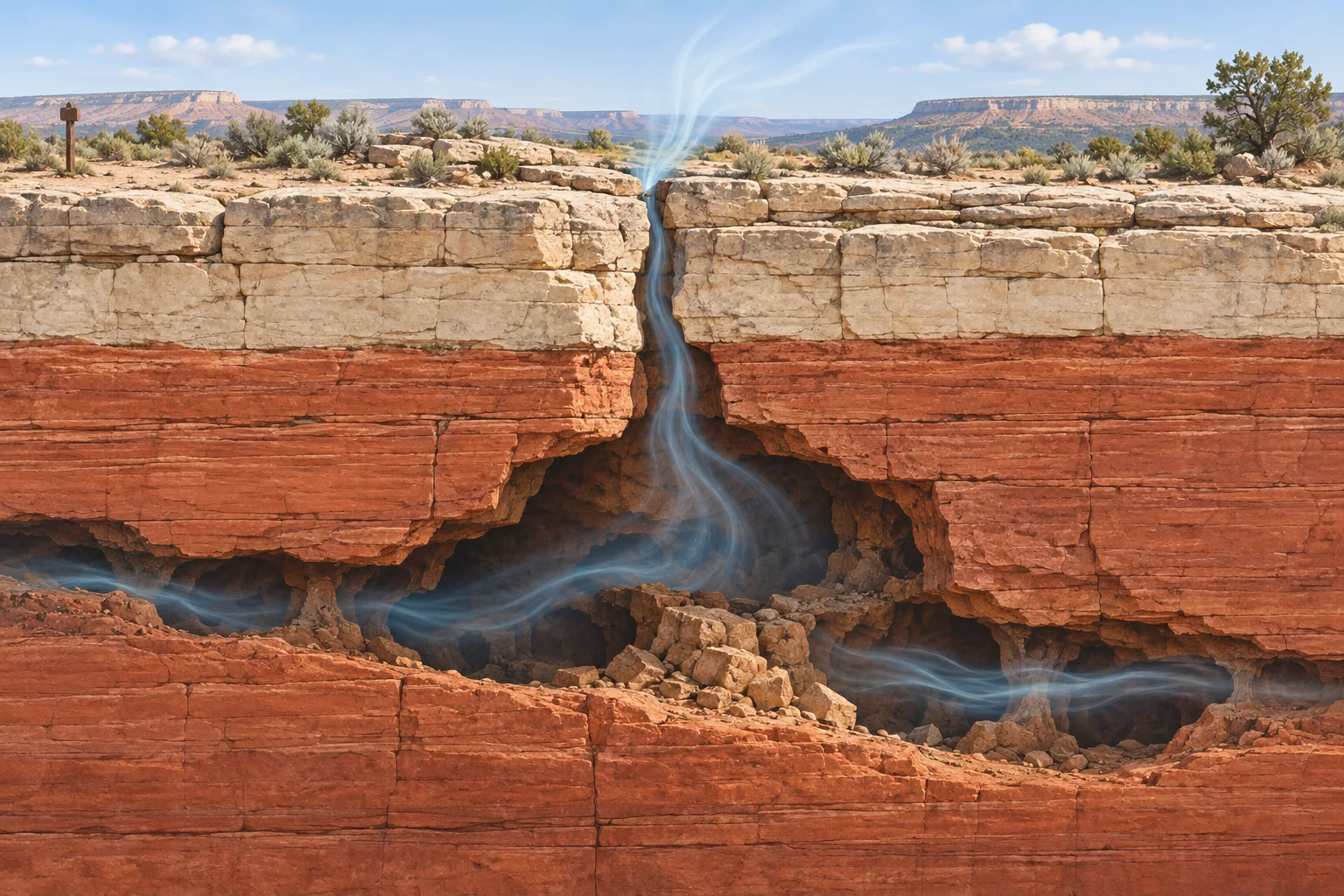
    Editorial illustration showing air moving through a narrow desert-rock fracture into a larger underground crack system.
    Editorial illustration: Air movement through a narrow surface opening and a larger underground fracture system.

    Why the air changes direction

    The blowholes respond to weather conditions. NPS explains that when outside air is cool and dense, air tends to move into the ground. When the outside air is warmer and less dense, air tends to move out. Atmospheric pressure also affects the exchange, according to the park’s natural-resource material. The result can feel a little like a landscape inhaling and exhaling, even though it is ordinary physics acting through an extraordinary piece of geology.

    That is why a visitor’s experience can differ from one hour or season to the next. The direction and strength of the airflow change with weather conditions, making the blowhole a vivid connection between the air above the desert and the air within the earthcrack system.

    A place where geology and cultural landscape meet

    The National Park Service describes the views of specific Ancestral Puebloan residents about the blowhole near Wupatki Pueblo as an open archaeological question. It also notes that Hopi stories describe such openings as a source of wind and the home of the wind god Yaponcha. These perspectives bring together a geological explanation for air movement and living cultural traditions connected to place.

    Visitors can appreciate the strange effect from the trail. Wupatki asks people to stay on designated paths, respect the pueblo walls, and leave natural and cultural items in place. The most satisfying way to meet this oddity may be the simplest: stand on the trail, notice the air, and remember that the desert below your feet is more connected than it looks.

    Sources

  • When Americans Tried to Mail Their Children—and the Postal Service Said No

    When Americans Tried to Mail Their Children—and the Postal Service Said No

    In 1914, a nearly six-year-old Idaho girl named May Pierstorff traveled about 73 miles from Grangeville to Lewiston to visit her grandparents. The story is remembered because 53 cents in parcel-post stamps were attached to her coat.

    That fact is strange enough. It does not mean the Post Office Department had a normal service for shipping children, or that May was put in a sack with the letters. The Smithsonian’s National Postal Museum describes the early episodes as children traveling with trusted postal workers while a brand-new parcel-post system was still being tested at its edges. Postal officials ultimately made their position plain: children were not mail.

    A new service, a very bad loophole

    Parcel Post began on January 1, 1913. It mattered especially to rural Americans, who could suddenly send and receive larger packages at standardized rates instead of relying entirely on private express companies. The service was immediately popular; the National Postal Museum says nearly 300 million parcels moved in its first six months.

    New services invite imaginative customers. In January 1913, Jesse and Mathilda Beagle of Ohio sent their infant son James to his grandmother a few miles away with rural carrier Vernon Lytle. The child was just under the then-current 11-pound limit, was insured for $50, and traveled in the carrier’s wagon. That makes the episode a revealing snapshot of an unfamiliar system, not an example to imitate.

    As the Postal Museum’s historian explains, several later cases involved children traveling beside people the families knew in the postal system. Accounts are unusually specific because newspapers liked the novelty. They are not evidence that the postal service routinely treated children as packages.

    Editorial illustration of an early twentieth-century postal clerk placing stamps on a folded wool coat beside a parcel scale
    Editorial illustration: an early Parcel Post counter and the unusual stamps-on-a-coat detail behind the stories.

    May Pierstorff’s famous trip

    May’s case became the best-known one. The Postal Museum dates it to February 19, 1914, and records her destination as her grandparents’ home in Lewiston. In one museum account, May traveled with a relative who worked on Railway Mail trains; another exhibition notes that a mail clerk delivered her at the far end. The shared point is the important one: she traveled with adults, not as freight.

    The stamps on her sleeve have made the story durable. They turned a family journey into a perfect newspaper oddity: an ordinary trip given a postage receipt. But the postal rules did not create a hidden passenger class. A 1914 Postal Museum timeline records Postmaster General Albert Burleson’s response after the stories appeared: babies were not among items permitted in the mail.

    Why the legend needs a little care

    “Children in the mail” is a memorable shorthand, but it can hide the human part of the history. These were families making questionable use of a new service, and workers who took responsibility for a child on a particular route. The U.S. Postal Service historian says the trips were against postal regulations; the Museum’s record of the cases also shows why officials moved to shut down the practice.

    The story is still delightfully weird, just more precise when told straight. Parcel Post changed rural life by moving eggs, tools, food, catalog goods and thousands of other things. For a brief period, a few families tried to stretch its promise too far. The postal service’s answer was uncomplicated: a child was a traveler, not a parcel.

    Fact check

    • Documented: Parcel Post began in 1913, and the National Postal Museum documents several cases in which children traveled with postal employees.
    • Documented: May Pierstorff traveled from Grangeville to Lewiston in 1914 with postage attached to her clothing.
    • Important context: These episodes were not a standard passenger service. Postal historians describe them as contrary to postal rules, and officials clarified that children could not be sent through the mail.

    Sources

  • Why New Zealand’s Moeraki Boulders Look Like Giant Stone Marbles

    Why New Zealand’s Moeraki Boulders Look Like Giant Stone Marbles

    On a beach in Otago, Aotearoa New Zealand, the tide threads around boulders that look suspiciously like a giant misplaced bag of marbles. The Moeraki Boulders / Kaihinaki are real stone spheres, some large enough to make a person look small beside them. They grew inside ancient mudstone, then the coast gradually set them free.

    The oddity is heightened by a second, equally important story. In Māori tradition, the round forms at this coast are connected with the wreck of the voyaging waka Ārai-te-uru. A good explainer keeps those accounts distinct: geology describes mineral processes; tradition records relationship, place, and memory. Both deserve to be named accurately.

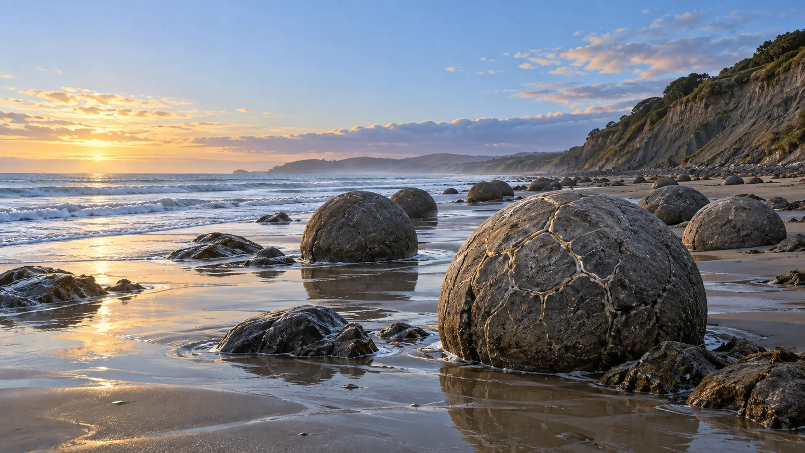
    Editorial illustration of large rounded Moeraki Boulders resting on wet sand beside the Otago coast at dawn.
    Editorial illustration: rounded calcite concretions catch the first light on an Otago beach.

    Confirmed: these are giant mineral-grown concretions

    The New Zealand Department of Conservation calls the Moeraki Boulders / Kaihinaki geological marvels exposed as surrounding mudstone erodes. The agency says the sedimentary rocks here were laid down roughly 65 to 13 million years ago and that the boulders formed through the gradual precipitation of calcite in mudstone over about four million years. A concretion is a compact mass of mineral-cemented sediment that grows within surrounding sedimentary rock; at Moeraki, the result is unusually large and strikingly spherical.

    Geologist James R. Boles and colleagues described the boulders in a peer-reviewed study as calcite concretions reaching about two metres across, with internal septarian veins of calcite and smaller amounts of other minerals. Those pale seams are part of why a weathered boulder can look like an enormous stone turtle shell or a cracked hard-boiled egg. Geologists classify the structures as calcite concretions, while the resemblance supplies visual fun.

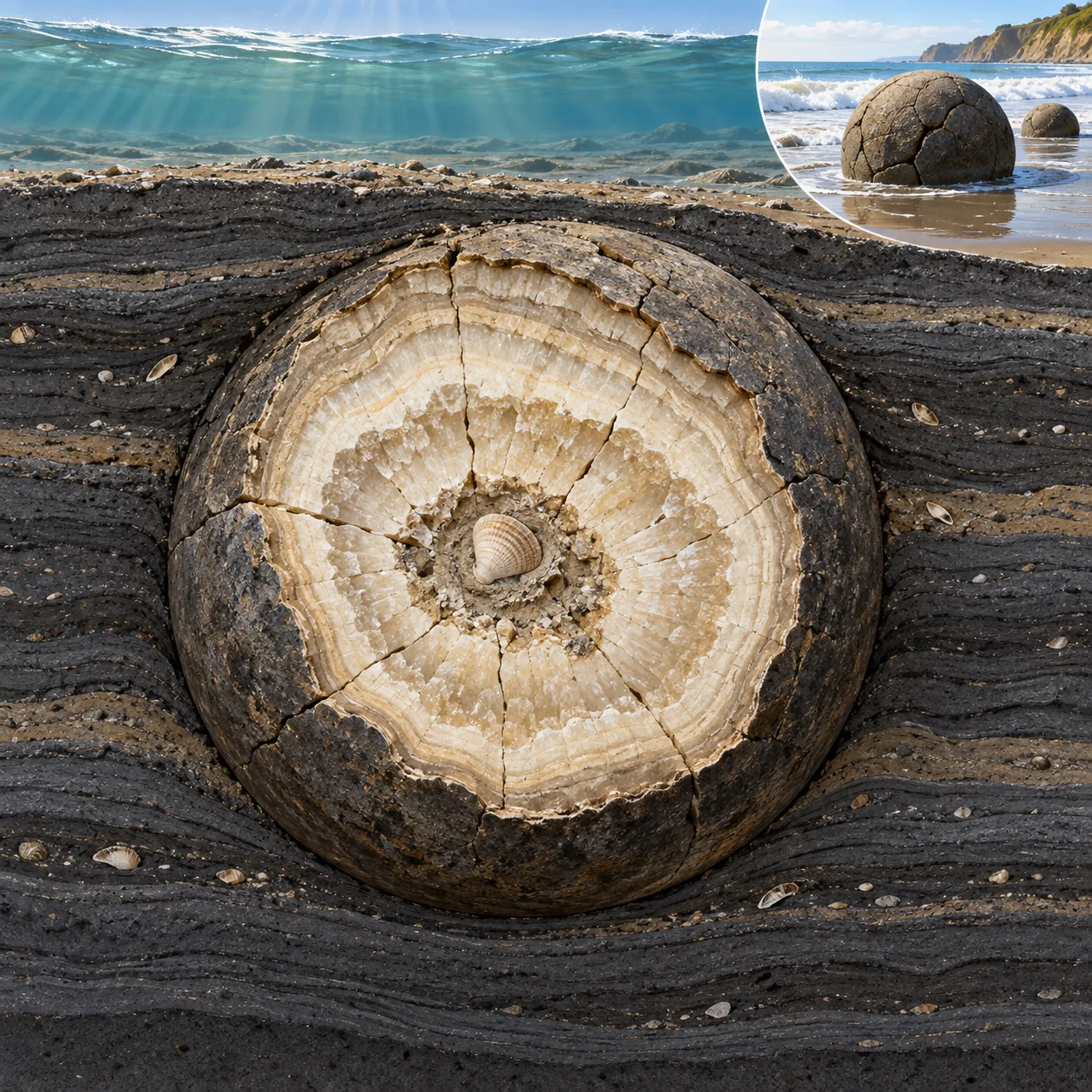
    Here is the slow-motion version. Fine sediment accumulated on an ancient seafloor. In that mud, dissolved minerals precipitated and cemented sediment together around centres of growth. Over immense time, the hardening body expanded into a rounded concretion. Much later, coastal erosion wore away the softer enclosing mudstone. The resistant spheres emerged, while more can still be seen partly embedded in the cliff.

    Editorial cutaway illustration showing a rounded calcite concretion growing within layered dark seafloor mud.
    Editorial illustration: mineral-rich calcite gradually cements sediment into a rounded concretion within mudstone.

    Confirmed: the coast is still doing the revealing

    The boulders form a living coastal display revealed by erosion. The Department of Conservation notes that erosion exposes them from the surrounding mudstone; its management material describes boulders at the foot of the cliff as well as partly embedded forms above the tide line. The site feels less like a sculpture garden than a paused geological process. Every visible sphere is a chapter of rock history, and the cliff remains the next page.

    That process also explains why individual boulders differ so much. Some remain almost whole; some have weathered into broken segments; others reveal their pale calcite vein network. The famous roundness is real, while each sphere carries its own natural variation. Nature has made durable spheres, then handed them to surf, salt, wind, and time.

    Editorial illustration of a weathered dark grey calcite boulder with pale mineral seams beside a mudstone cliff on the Otago coast.
    Editorial illustration: weathering brings the pale calcite seams of a concretion into view.

    Folklore and tradition: a waka, gourds, and eel baskets

    Te Ara, the Encyclopedia of New Zealand, records a Māori tradition that connects the boulders with the voyaging waka Ārai-te-uru. In versions summarized by Te Ara, the waka was wrecked near Shag Point / Matakaea; the boulders are associated with food containers, including gourds and baskets of kūmara, washed ashore. Te Ara’s roadside account also uses the name Te Kaihinaki for the boulders.

    This is a tradition alongside the mineral-formation account. Present it as cultural history, while the geological account describes the evidence from calcite and sediment. The accounts answer different questions: one explains how the stones formed; the other locates the remarkable coast within an inherited history of voyage, loss, food, and place.

    What remains speculative

    Scientists can study the boulders’ mineral chemistry and structure. Reconstructions of their earliest growth conditions draw on the rock record: the surrounding mudstone, the mineral cement, and the textures left inside each stone. A shell fragment, organic matter, or another small feature can serve as a possible growth focus for concretions in general; current evidence leaves the precise starting particle of any one Moeraki boulder open.

    The evidence already offers a delightful mystery. Their verified explanation is slower and stranger: a coastal landscape has been opening mineral spheres that began growing in ancient seabed mud, one erosion season at a time.


    Sources: New Zealand Department of Conservation, “Moeraki area”; New Zealand Department of Conservation, “Moeraki Boulders/Kaihinaki Walk”; Te Ara, “Roadside Stories: The Moeraki boulders”; Boles, Landis and Dale, “The Moeraki Boulders; Anatomy of Some Septarian Concretions,” Journal of Sedimentary Research (1985).

  • Why Supai’s Mail Still Travels by Mule

    Why Supai’s Mail Still Travels by Mule

    By Weird News staff

    Most mail routes are designed to disappear into the background. A mailbox opens, a letter arrives, and nobody needs to think about the last mile. The route to Supai, Arizona, makes that final stretch impossible to ignore: a working train of mules carries mail and goods down into Havasu Canyon, five days a week.

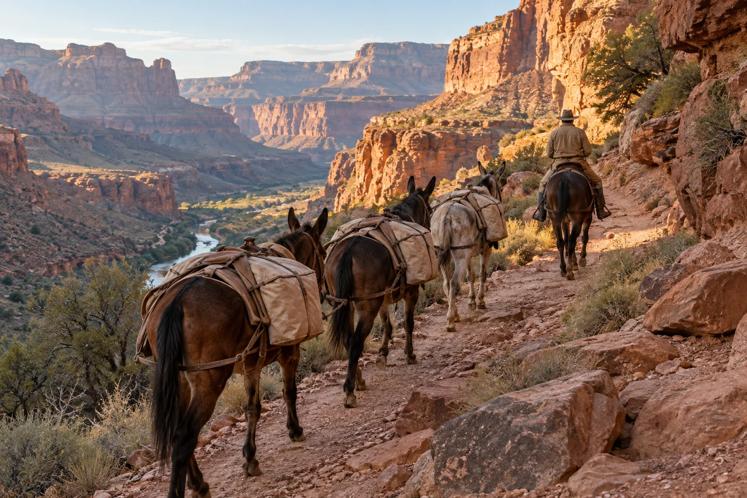
    Editorial illustration of a working line of pack mules with plain canvas panniers following a red-rock canyon trail behind a wrangler.
    Editorial illustration

    A post office at the end of a trail

    Supai is the principal village of the Havasupai Tribe’s reservation in Havasu Canyon. The National Park Service describes the village as a roadless destination and directs prospective visitors to the Tribe’s official reservation system and visitor rules. The route serves a living community on Tribal land, a context the park’s visitor guidance keeps front and center.

    The U.S. Postal Service calls its mule train its most unusual delivery mode. Its current Postal Facts page says that mules have carried mail and goods to the Havasupai people since the 1930s. A daily string of 10 to 22 mules, accompanied by one wrangler on horseback, travels to the Supai Post Office five days a week. USPS describes a nine-mile downhill journey that takes about three hours and a five-hour trip back up.

    Confirmed facts: why the loads look so carefully arranged

    The route is a working logistics system. USPS says a mule can carry up to 200 pounds, with the load balanced between its two sides. Its Postal Facts page also says the wrangler untethers the mules for the uphill return and that the Supai Post Office has a special Mule Train postmark.

    The National Postal Museum, part of the Smithsonian, preserves a retired mule-mail saddle and describes deliveries that include letters and parcels as well as practical goods such as groceries, medicine and small appliances. Those details put the familiar photograph of a pack string in a different light: a pair of panniers is less a costume than a way to make a steep, roadless connection work.

    Editorial illustration of a brown pack mule in profile carrying two matching plain canvas panniers balanced on a pack saddle against red canyon walls.
    Editorial illustration of the balanced pack arrangement described by USPS.

    A present-day tradition

    There is something delightfully out-of-time about receiving a letter on a route powered by hooves. But “old-fashioned” can be a misleading word. The confirmed tradition is the service itself: USPS documents mule delivery here from the 1930s onward. The mules are part of a present-day delivery operation whose routine depends on trained workers, careful loading and a route shaped by the canyon.

    The full context matters. The Havasupai Tribe’s official site provides the reservation’s own information about pack mules and visitor reservations. The National Park Service explicitly notes that access to the reservation requires reservations. A striking delivery route serves a community, and visitors follow its reservation process and trail guidance.

    Folklore and the postcard version

    The idea of a “mule mail carrier” naturally invites tall-tale language: a lone animal heroically delivering letters by itself, or a frozen-in-time cowboy scene. USPS documents a wrangler, a working string of mules, balanced loads and a regular schedule. The mule train is the transport; people run the service.

    The official USPS, National Park Service, Smithsonian and Tribal sources reviewed for this story focus on current logistics, leaving a specific Havasupai folklore account outside this article. The documented practice stands on its own: a community’s daily logistics carried out with care.

    What is still unknown from the public record

    Public sources establish that the route operates and describe its routine; details about every operational choice and future schedules remain open. Claims about the mule train’s long-term role or future decisions by USPS and the Havasupai Tribe would require fresh evidence.

    There is a simpler, verified observation to hold onto: a regular delivery service has found a way to meet a roadless canyon on its own terms. Rather than erase the hard part of the journey with an app notification, it makes the journey visible—one carefully balanced mule at a time.

    Editorial illustration of a small pack-mule train and wrangler moving along broad red-rock canyon switchbacks above a green canyon floor.
    Editorial illustration

    Sources

  • The Library Where the Border Runs Under the Bookshelves

    The Library Where the Border Runs Under the Bookshelves

    Weird places, plainly explained

    The Library Where the Border Runs Under the Bookshelves

    In a small building shared by Quebec and Vermont, a black line on the floor marks a very real international boundary.

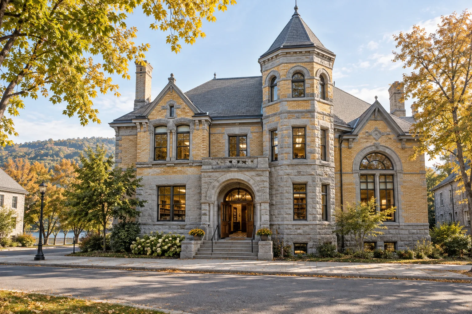
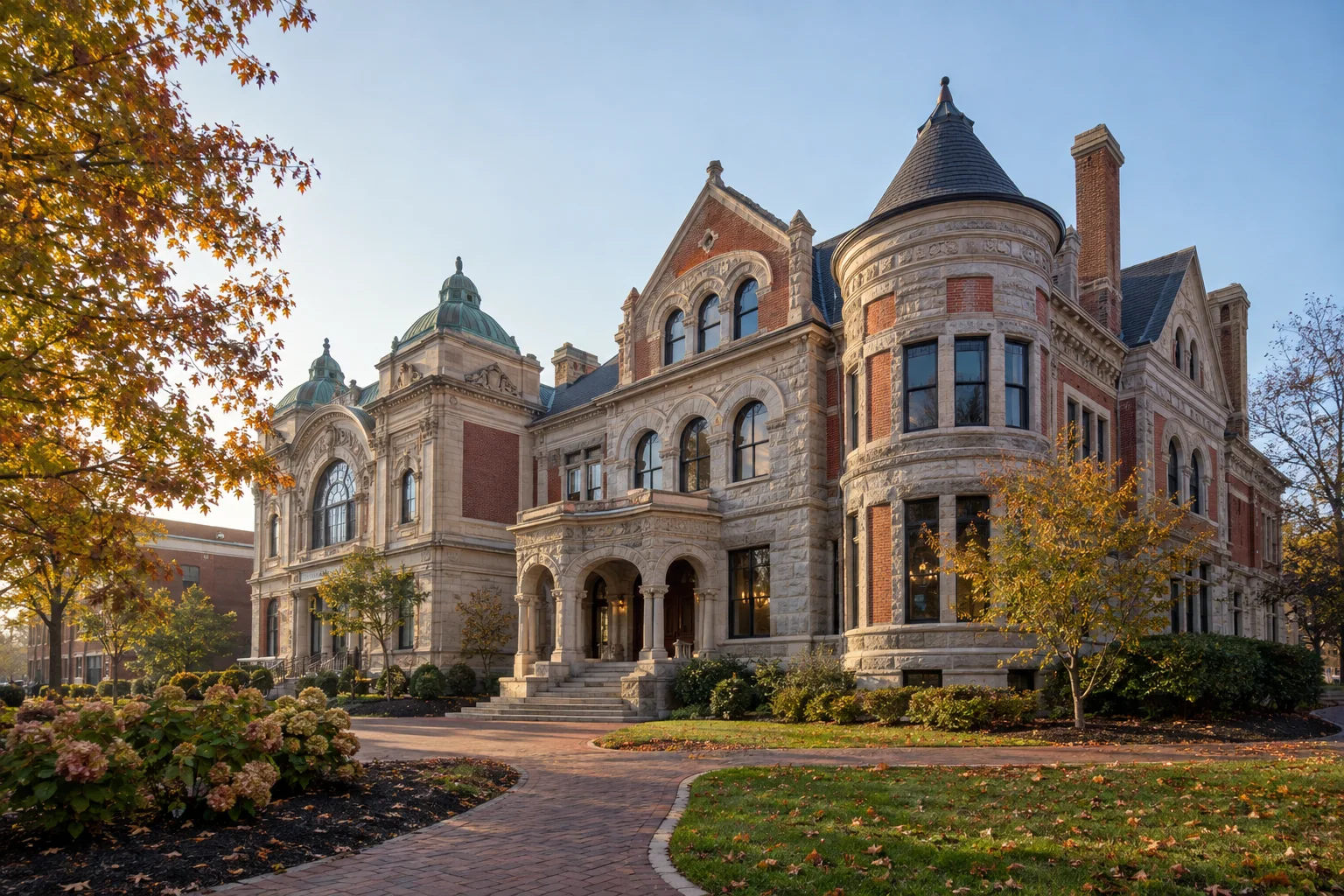
    Editorial illustration of a stone-and-brick border library with a corner tower in autumn.
    Editorial illustration

    Most libraries ask patrons to keep their voices down. The Haskell Free Library and Opera House asks something stranger of the building itself: it lives in two countries at once.

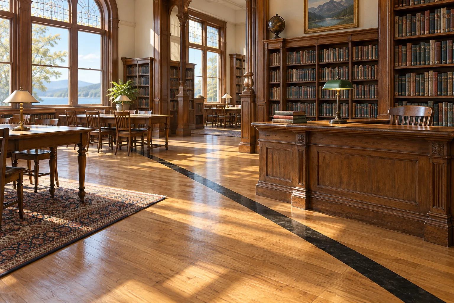
    The historic building sits across the line between Stanstead, Quebec, and Derby Line, Vermont. Inside, a thick black line crosses the hardwood floor of the reading room. Parks Canada says the line runs beneath the stacks and the circulation desk, marking the Canada–United States boundary. Upstairs, the line continues beneath the opera-house seats.

    Built for two neighboring communities

    The building has carried that boundary since its construction. Canadian heritage records say the library and opera house were built from 1901 to 1904 on the international boundary. Martha M. Stewart Haskell and her son, Horace Stewart Haskell, gave the combined public library and concert hall to serve people on both sides of the border. Parks Canada records that service to both communities as a condition of the gift.

    The idea was unusually practical as well as symbolic. The first floor held the library; the second held an opera house. The Canadian Register of Historic Places describes a 500-seat hall, while Quebec’s heritage registry notes that the two uses were separated architecturally: local granite at the library level and brick around the performance space.

    Editorial illustration of a warm wood reading room with a dark line set into the floor.
    Editorial illustration

    What the records show

    The oddest details are documented, not folklore: the building really does straddle the border, and heritage records identify the black floor line as a character-defining feature. Canada designated the Haskell a national historic site in 1985; Quebec separately records that three-fifths of the building lies in Canada and the remainder in Vermont.

    The building’s present-day rules are practical and revealing. Its visitor page gives separate Canadian and U.S. entrances and tells visitors to leave by the same door they used to enter. Cross-border meetings, including family reunions, are prohibited. Anyone planning a visit should check the library’s current guidance alongside current travel requirements.

    Editorial illustration of a historic stone-and-brick library and performance hall with towers and autumn trees.
    Editorial illustration

    A line with a human purpose

    The floor line is an excellent piece of Weird News because it is so visually direct: one stripe, two countries, and the everyday work of borrowing books or attending a performance continuing around it. But the documented history makes the place more than a geography stunt. It was built as a shared cultural room for neighboring towns.

    That may be the best part of the Haskell’s strangeness. The border is visible enough to follow with your eyes, while the building’s original purpose is to give people on both sides a reason to walk into the same room.

    Sources

  • When a Colorado Dune Sings: The Physics of Booming Sand

    When a Colorado Dune Sings: The Physics of Booming Sand

    Editorial illustration

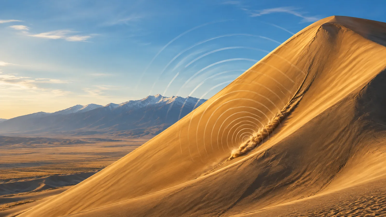
    A deep note can roll across a dune in southern Colorado, as if a bass instrument had been buried beneath the sand. At Great Sand Dunes National Park and Preserve, the sound has a physical source: an avalanche of exceptionally dry sand moving down a steep slip face. The National Park Service records the phenomenon as “singing sands,” a rare natural sound that visitors can hear at only a small number of places worldwide.

    Confirmed facts: sand can make a sustained tone

    The park sits where wind, water, and sediment have spent millennia building a huge dune field against the Sangre de Cristo Mountains. The National Park Service describes the main active dune field as about 30 square miles, shaped by opposing winds and a continuing recycling of sand through the valley’s creeks and sand sheet.

    During suitable dry conditions, a slide of sand down a steep face can set up a low, humming or booming tone. A 2007 field study led by researchers at Caltech measured sustained booming at several desert sites. Its principal tones fell between about 70 and 105 hertz, along with higher harmonics. That range helps explain the sound’s startling, musical character: it arrives as a steady low note with a clear dominant pitch.

    Dryness matters. The study’s field observations linked sustained booming with an appropriate loose surface layer and steep, avalanching sand. The NPS sound library preserves a recording from Great Sand Dunes, offering a useful reminder that this story begins with a real acoustic event, heard in the open air.

    Editorial illustration of a golden dune cross-section with warm and blue sound waves moving through layered sand.
    Editorial illustration

    How one leading explanation works

    The Caltech team proposed a dune-scale waveguide. In their model, the moving avalanche supplies an acoustic pulse, while a shallow layer of dry, loose sand helps select and reinforce a particular frequency. Constructive interference in that layer can amplify the vibration, and the surface then couples the energy into the air as a powerful audible note.

    That account connects several observed ingredients: a broad slip face, a surface avalanche, dry sand, and a tone that lasts longer than the visible surge of grains. It also gives the dune itself an active role. The feature acts as a landscape-sized resonator.

    Folklore and familiar names

    People have given sound-making sands vivid names for generations. A U.S. Geological Survey guide records “desert thunder,” “booming sands,” and “roaring sands” among the common labels. Explorers and travelers also carried tales of singing or droning dunes across deserts in Asia, Africa, and the Americas.

    Those names belong to the human record of listening. They express awe and memory; laboratory evidence supplies a separate account of the mechanism. The word “singing” works as a graceful metaphor for a natural tone produced by moving sand.

    What remains speculative

    Researchers agree on the central observation: some dunes boom during suitable avalanches. The fine detail of frequency selection remains an active scientific question. A published response to the 2007 waveguide paper argued for a different account based on wave behavior in the surface layer and granular flow. The authors then replied with further support for their interpretation.

    That exchange offers a healthy distinction. The sound, the avalanche, and the dry-sand setting stand on direct measurements. The exact route from grain motion to one dominant audible pitch carries competing models. Future field measurements can sharpen the picture.

    A strange sound with a solid foundation

    Great Sand Dunes earns its uncanny reputation through ordinary ingredients arranged in an extraordinary geometry: grains, gravity, dryness, slope, and a layered body of sand. The result feels theatrical, yet the surprise grows from physics unfolding at landscape scale. A dune can hold a note, and that simple fact makes a quiet desert feel briefly musical.

    Sources

  • Why Some Pennsylvania Boulders Ring Like Bells

    Why Some Pennsylvania Boulders Ring Like Bells

    Why Some Pennsylvania Boulders Ring Like Bells

    At Ringing Rocks Park in Bucks County, a field of weathered diabase boulders can answer a hammer tap with bright metallic tones. The sound is real, the geology is documented, and the full acoustic recipe remains an inviting scientific puzzle.

    A geologist stands beside dark diabase boulders in a sunlit Pennsylvania woodland, where one boulder carries gentle bell-like vibration arcs.
    Editorial illustration of the diabase boulder field at Ringing Rocks Park.

    Confirmed facts: a boulder field with a voice

    Ringing Rocks Park sits near Upper Black Eddy in Bucks County, Pennsylvania. Bucks County lists the park as a 128-acre public site with a geological formation, trails, picnic areas, and a nature area. A county planning document describes its famous boulder field as roughly seven acres, while Pennsylvania’s Geological Survey calls the site one of eastern America’s largest diabase boulder fields.

    Diabase formed here during a long episode of regional geologic change. The state survey says magma entered the Triassic basin around 200 million years ago, then weathering exposed the tough, interlocking rock. During Ice Age periglacial conditions, repeated freezing and thawing helped break fractured bedrock into large blocks. Cold-season movement over permafrost turf carried many boulders downhill into the field seen today.

    Many rocks in that field produce a characteristic ring when struck, according to the survey. The Delaware Canal State Park’s nearby-attractions guide similarly describes weathered diabase rocks that ring like a bell. Visitors therefore meet a real physical feature, rather than a storyteller’s flourish.

    Folklore: the mystery grows around the sound

    Ringing rocks invite folklore because a pile of dark boulders feels unexpectedly musical. Pennsylvania’s Geological Survey says numerous legends have grown around their tones. That label matters: folklore records how people make meaning from a strange place; it serves a different role from a field measurement or a mineral analysis.

    The park’s name itself carries that local sense of wonder. A hammer tap becomes a tiny performance, and the variation from boulder to boulder encourages listeners to search for patterns. Folklore gives the field its atmosphere, while the geological record supplies its history.

    A weathered dark diabase boulder appears in cutaway view, with fine mineral texture and soft vibration lines spreading from a geological hammer tap.
    Editorial illustration of resonance moving through a weathered diabase boulder.

    Speculation and scientific hypotheses: why this boulder, at this moment?

    The state survey offers a general explanation rather than a final formula. It points to a delicate balance among mineralogy, weathering properties, and microclimate. As an exposed boulder’s outer rim weathers, pyroxene minerals can expand into clays and create tension in the rock. Boulders that project into sunshine beyond woodland shade appear especially likely to develop a ringing capacity.

    That account is a plausible geological model, and it also leaves room for further study. The exact contribution from mineral structure, shape, internal stress, surface weathering, temperature, and placement within the field can vary from stone to stone. A bright tone therefore marks an interesting combination of conditions, rather than a simple rock category.

    Ringing Rocks offers a compact lesson in evidence levels. The boulder field, its diabase origin, and its bell-like response are confirmed facts. Legends belong to the human story around the site. The detailed acoustic mechanism remains a scientific question with useful working hypotheses. Together, those layers make a short walk in Pennsylvania feel like a visit to a natural instrument.

    Sources

  • Why Death Valley’s Sailing Stones Leave Tracks Across a Dry Lakebed

    Why Death Valley’s Sailing Stones Leave Tracks Across a Dry Lakebed

    Editorial illustration

    Across a flat dry lakebed in Death Valley, heavy stones leave long grooves in clay. Field observations, ice, shallow water, and a light wind supply the strange-but-true explanation.

    A dark desert stone rests beside a graceful trail across Racetrack Playa, with thin melting ice and mountains at dawn.
    Editorial illustration of the conditions that can guide a stone across Racetrack Playa.

    A rock trail on Racetrack Playa can look freshly drawn: one stone at its head, a narrow groove curling over pale clay behind it. The setting sits in Death Valley National Park, where the National Park Service describes a dry lakebed known for moving rocks. Some stones have traveled as far as 1,500 feet, according to the park’s visitor guide.

    Confirmed facts: a stone can travel across the playa

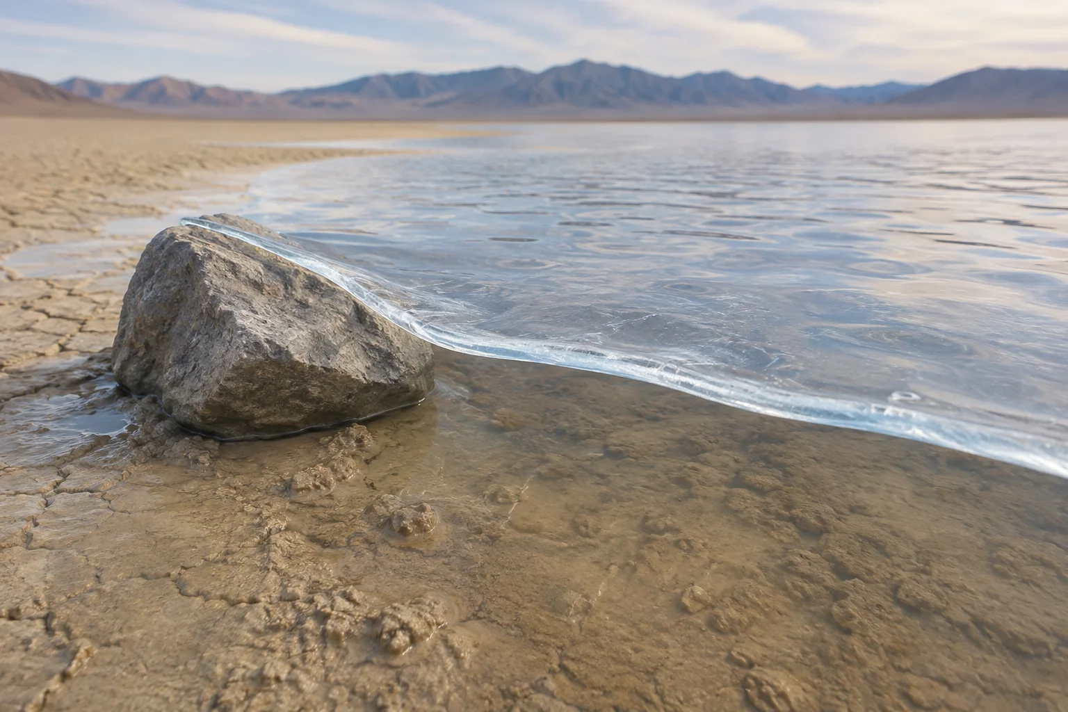
    Researchers directly observed the movement during the winter of 2013–14. Their cameras, GPS-equipped stones, and weather station captured shallow water covering the playa, thin sheets of ice forming overnight, and sunlight breaking those sheets into floating panels. Light winds pushed panels across the water and the panels pressed stones through soft mud. A single observed event involved more than 60 moving rocks, and instrumented stones traveled as far as 224 meters across several events.

    The pace remains wonderfully subtle. The research team measured speeds of roughly 2 to 5 meters per minute. From a distance, a visitor could easily see a quiet lakebed and a landscape full of tracks, while the actual motion unfolds during a short weather window.

    A thin translucent ice panel glides across shallow water and gently guides a gray stone over smooth wet clay.
    Editorial illustration of a thin ice panel guiding a stone across wet clay.

    Folklore and popular lore: a name built for a mystery

    “Sailing stones” gives the landscape a story-sized name. The phrase belongs to popular desert lore: stones appear to travel under their own power, then pause beside a signature trail. Earlier scientific discussion also gathered several possible mechanisms, including powerful wind, liquid water, ice, and ice flotation. Those ideas form the history of the mystery, while the 2013–14 field record supplies a measured account of one sequence.

    Speculation: each trail carries its own weather story

    The direct observation explains a powerful route for motion, yet every trail reflects local conditions at a particular moment. Wind direction, water depth, ice-panel shape, stone size, and the clay surface can shape a path. The research paper describes trajectories guided by wind and flowing water beneath the ice. That leaves room for careful study of how individual trails gain their curves, parallel lines, turns, and varied widths.

    Why the evidence matters

    Racetrack Playa offers a useful lesson in wonder. The tracks were always real physical records. Patient observation turned a dramatic sight into a sequence of ordinary materials acting together: rain or snowmelt, freezing air, thin ice, sunlight, breeze, stone, and mud. The result still feels theatrical because the stage is so vast and the action is so quiet.

    The park asks visitors to protect that stage. Stay on established roads, keep vehicles off the playa, and treat the fragile surface with care. A trail can preserve a rare weather event; a fresh footprint or tire mark can reshape the view for years.

    Sources

  • The Long Island Duck That Became a Roadside Building

    The Long Island Duck That Became a Roadside Building

    Weird, but true: On eastern Long Island, a small shop was built as a giant white duck. Its eyes came from Ford Model T taillights, its doorway sat in the bird’s chest, and its compact interior once served a working duck farm.

    Editorial illustration of the Big Duck beside a Long Island road, with a visitor showing the landmark's scale.
    Editorial illustration of the Big Duck as a roadside landmark.

    A roadside building can advertise with a sign, a window display, or a bright awning. Martin Maurer’s answer in 1930–31 was more direct: make the store itself into a Peking duck. The result, called the Big Duck, was built on West Main Street in Riverhead, New York, as a retail poultry shop. For people driving east, the message arrived before they had time to read a word.

    A duck with a room inside

    The National Park Service describes the building as a wood-frame structure covered with wire mesh and concrete. It measured about 15 feet across the front, 30 feet from breast to tail, and 20 feet to the top of its head. The shop inside measured roughly 11 by 15 feet. Those measurements make the joke more impressive: a building that looks oversized from the road still held a room sized for an everyday transaction.

    Its red eyes have a particularly practical origin. They are Ford Model T taillights. A detail from an ordinary car became a pair of eyes for a very large bird, an economical piece of theater for a farm business.

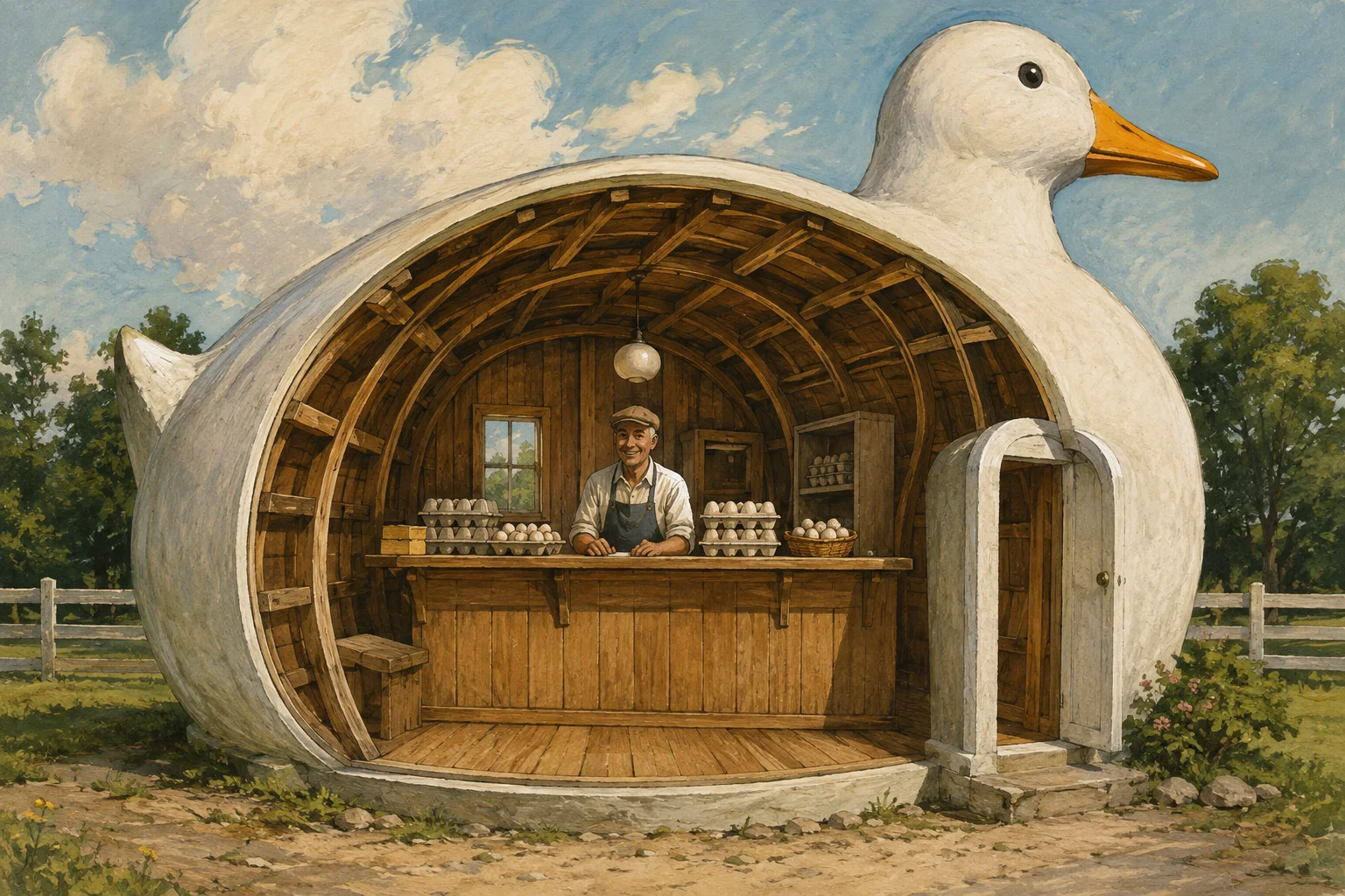
    Editorial cutaway illustration showing the warm wooden interior of a duck-shaped roadside shop with a counter and a shopkeeper.
    Editorial illustration imagining the human-scale shop space inside the duck-shaped building.

    The documented history

    Several dates in the Big Duck’s life are unusually well anchored. The National Park Service records its construction in 1930–31 and says Maurer moved it about four miles southeast to Flanders in 1937, near his new ranch, duck barns, and marshes. The building closed in 1984 and moved to Sears-Bellows Pond County Park in 1988. The National Register listed the Big Duck in 1997; the larger Big Duck Ranch historic district followed in 2008.

    That record matters because a giant roadside bird can invite a loose retelling. The verified version is already plenty strange: a working agricultural business used a three-dimensional duck as its salesroom, then the building gained a second life as a preserved landmark.

    Folklore, shorthand, and an architectural idea

    The Big Duck has gathered a powerful bit of architectural shorthand. In Learning from Las Vegas, Robert Venturi, Denise Scott Brown, and Steven Izenour used “duck” for a building whose overall form carries the message. The Library of Congress connects that term directly to the Long Island Duck. In this sense, a “duck” means a building that speaks through its silhouette.

    That label is a later architectural reading, while the 1930–31 store and its moves are documented historical facts. Popular stories can make a landmark sound like the sole beginning of every whimsical roadside structure. The surviving record supports a narrower, more satisfying claim: this particular duck became a durable example that architects used to explain a design idea.

    What remains an inference

    The National Park Service calls this kind of design “literalism in advertising,” and the route to the Hamptons gave Maurer’s building a prominent audience. It is reasonable to read the white bird, orange bill, and glowing eyes as a way to catch a motorist’s attention. That is an interpretation of the design’s public effect. Maurer’s exact private reasoning belongs to history’s quieter corners, so this feature leaves it as an inference.

    For a visitor, the Big Duck offers a small lesson in scale. From the road, it is a duck. At the door, it is a room. In the archive, it is a farm business, a preservation project, and an architectural vocabulary word—all gathered under a pair of old taillights.

    Sources

  • The Big Bend Tablet Mystery Began With a Family, a Crevice and a Handful of Mud

    The Big Bend Tablet Mystery Began With a Family, a Crevice and a Handful of Mud

    In 1962, a family exploring the Hot Springs area of Big Bend National Park fitted together fragile mud fragments covered with unfamiliar marks. The find became a decades-long mystery, and the park’s own records preserve a careful lesson in how strange evidence should be handled.

    A family examines a fragile mud tablet beside a desert river in Big Bend
    Editorial illustration of the family examining the fragments near Tornillo Creek.

    The discovery began with a small movement in a very big landscape. During the winter of 1962, Donald Uzzell was climbing along a cliff above Tornillo Creek, opposite the Hot Springs Post Office and Motel. In an L-shaped cleft, he found a stack of pieces that looked like parts of a clay tablet. He passed the fragments down to the rest of his group—his mother and stepfather, Bernice and Charles Nickles, and his wife, Reva Uzzell—and they assembled the pieces like a jigsaw puzzle.

    The assembled object carried more than 70 marks. Family members photographed it, then brought the pieces to Big Bend National Park headquarters at Panther Junction. That handoff placed an ordinary family outing at the center of a question that would travel through park files, university correspondence and magazine pages for years.

    A park naturalist saw a different clue

    Douglas Evans, the park’s chief naturalist in 1962, examined the fragments. In a letter preserved by the National Park Service, Evans described material made from sun-baked mud peeled from a recently soaked flat along Tornillo Creek after a flood. He recalled that the surface looked fresh, showed very little weathering and crumbled with handling. The pieces eventually broke down into dust while they were stored at the park.

    A close view of a sun-baked mud tablet with hand-drawn marks beside a field notebook
    Editorial illustration of the fragile material and its simple marks.

    Those physical observations form the strongest evidence in the surviving record. A fragile sheet of river mud with a fresh-looking surface fits a recent mark-making episode. The park’s account says people who saw the object in the office found no archaeological or historical significance in it. Ross Maxwell, Big Bend’s first superintendent, later wrote that conversations with people who had been children around Hot Springs before 1964 supported the possibility of a child making marks in the mud with a stick.

    Why the mystery kept moving

    The family who found the pieces kept asking questions. Bernice and Charles Nickles contacted Lewis R. Church, who shared photographs with a classical-languages scholar at Brigham Young University. That early exchange produced a cautious comparison with an old Greek alphabet. In 1969, the Nickles connected with Jack and Bernice McGee, writers who had taken an interest in reports of unusual inscriptions and objects around the United States.

    From 1969 through 1977, the McGees corresponded with Big Bend staff and academics. In October 1970, they returned to the discovery area with the Nickles, the Uzzells and Miriam Lowrance of Sul Ross University. They collected dust and fragments from the crevice and sent samples to researchers. The expedition shows the human side of the story: people followed a puzzling object across years because its marks seemed to promise a larger history.

    A national park naturalist studies a delicate mud tablet on a tray in a historic office
    Editorial illustration of a park-office examination and the paper trail that followed.

    Some observers continued to read the marks as evidence of an ancient language. The NPS account records suggestions involving Greek, Hebrew, Phoenician and other scripts. In 1977, a translation attributed to Barry Fell described the writing with a mixture of ancient-language names. The park’s historian also records that Fell’s background was marine biology and that his language work was a personal interest.

    What can be said with confidence

    The Big Bend Tablet is a verified historical episode: a named family found fragments in a specific place, photographed them, delivered them to park staff and pursued an explanation. The object itself no longer survives. Its material, its rapid disintegration and the observations of park personnel are documented in the National Park Service record.

    The ancient-inscription reading belongs to the story’s interpretation layer. It appears in correspondence and later claims, while the park’s material observations and local recollections point toward a recent drawing in dried river mud. The evidence invites curiosity and rewards restraint. A family found something genuinely odd; the surviving record helps explain why the oddity became a legend.

    Today, Hot Springs remains a historic district at the confluence of Tornillo Creek and the Rio Grande. Visitors can see preserved structures, ancient pictographs and the spring that shaped the area’s human history. The tablet’s story adds one more human-scale detail to that landscape: a brief set of marks that turned a walk along a creek into a long investigation.

    Sources and further reading