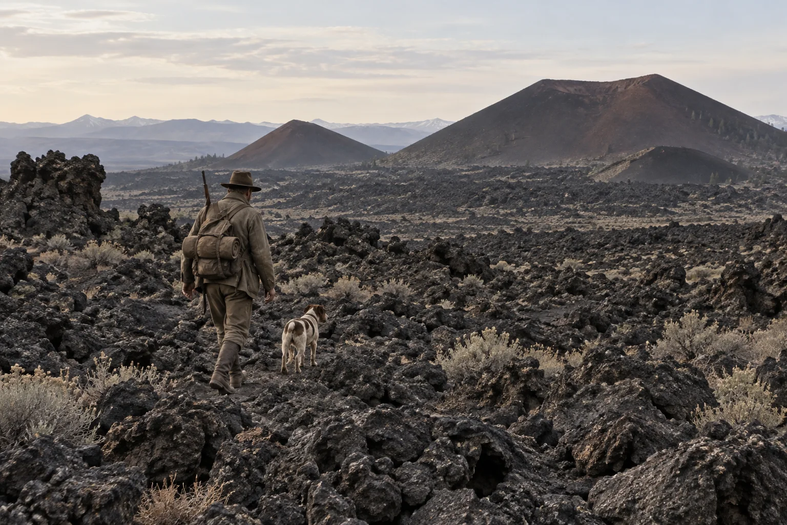
In 1920, Idaho outdoorsman Robert Limbert set out to cross one of the most unusual landscapes in the American West. He and a companion, W. Cole, carried bedding, a cook kit, a camera, binoculars and two weeks of supplies across the Craters of the Moon lava field. Their camp dog came, too.
The trek covered 80 miles over 17 days. The rough basalt quickly made the dog’s journey difficult, so Limbert and Cole carried him or waited while he picked his way over the rock. Limbert photographed the terrain along the route, recording a place that had drawn few visitors and little public attention. The National Park Service recounts the expedition in its history of the monument.
A taxidermist with a field notebook
Limbert came west in 1911, aged 26, and worked as a taxidermist while building a life as an outdoorsman and photographer. His first major exploration of the lava field came nine years later. The expedition gave him a firsthand map of the area’s craters, cinder cones and rugged flows—and a story he would keep sharing.
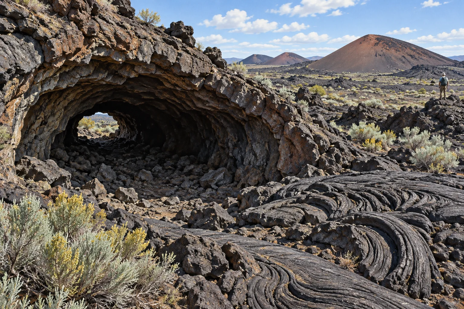
Limbert and Cole’s trip also gave the landscape memorable place names. Features they encountered became Big Cinder, Echo Crater, Trench Mortar Flat and Yellowjacket Water Hole. Those names helped make a vast volcanic field easier for readers and future visitors to picture.
How a moonlike name reached Washington
People in the region had already compared the terrain to the Moon, and some called it the Valley of the Moon. Limbert helped popularize “Craters of the Moon” through writing and photographs. His 1924 article in National Geographic brought the name and landscape to a national audience.
The name describes an impression, while the geology tells a distinctly earthly story. The National Park Service describes Craters of the Moon as a basaltic lava field along Idaho’s Great Rift. The field formed in eight eruptive periods between about 15,000 and 2,000 years ago, leaving a landscape of lava flows and cinder cones.
From expedition story to protected place
After his 1920 journey, Limbert continued to build support for the area. In 1921, he guided 10 scientists and civic leaders into the lava fields and argued for protecting their volcanic features. He sent President Calvin Coolidge a scrapbook of photographs and trip notes. On May 2, 1924, Coolidge established Craters of the Moon National Monument.
The expedition’s legacy is part landscape story and part act of attention: Limbert went far enough into the lava country to document it, then brought others along through his images and words. The National Park Service dedicated the monument’s visitor center to his memory in 1990.
The monument also holds a much longer human history. The National Park Service recognizes Craters of the Moon as part of the ancestral homelands of the Shoshone-Bannock people, who maintain a connection to the land today.
Sources: National Park Service history of Craters of the Moon; National Park Service questions about the monument’s name and geology; National Park Service geology overview of the Craters of the Moon volcanic field.
Leave a Reply