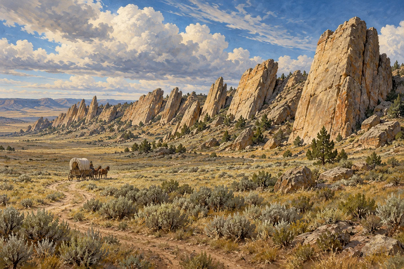
West of Casper, Wyoming, a mile-long ridge of sandstone rises from the high plains in a line of tilted slabs. To 19th-century travelers, the formation looked like the backbone of an enormous animal. They called it Devil’s Backbone, Avenue of Rocks, Rock Avenue, or Rock Lane—and then guided their wagons through the narrow passage beside it.
The ridge is a natural landmark on the routes followed by the Oregon, California, Mormon Pioneer, and Pony Express trails. National Park Service records describe it as a conspicuous feature that emigrants sketched and discussed in their journals. Its broken sandstone beds were pushed up by pressure in the Earth’s crust, leaving a mile of stone fins that still stand out against the surrounding grassland.
A sea-serpent shape on the western trail
British traveler Richard Burton passed the landmark by stagecoach in 1860. He compared its upturned sandstone to the vertebrae of a great sea serpent. That image fit a feature that rose like a jagged spine across a landscape of open sky, sagebrush, and long travel days.
The formation was more than a view. The trail narrowed as it passed between the rocks and a ridge to the east, and the sandstone made the crossing memorable enough to appear in emigrant accounts. A National Park Service itinerary for the region traces the historic trail corridor west from Casper and identifies the surviving signature of emigrant W. H. Stephens at Avenue of Rocks.
Helen Carpenter’s windy passage
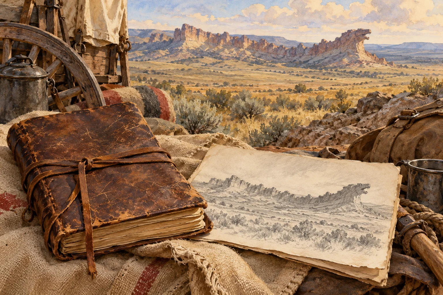
Helen Carpenter traveled through the area with her family in June 1857. In her journal, she focused on the wind, which made walking difficult and whipped the women’s skirts around. Some companions tried weighing their hems with stones. Carpenter later recalled that the improvised weights left bruises on their shins, a wry detail that gives the trail a human scale.
Her account makes the place feel immediate: the rocks gave the route its shape, while the Wyoming wind shaped the travelers’ small daily decisions. The ridge could be both a geological formation and a scene of practical problem-solving.
Marks left in stone
Some travelers carved their names into the sandstone as they passed. Weathering and road construction later erased many inscriptions, while faint carvings remain on a few rock faces protected by overhangs. The National Park Service notes that the site is managed by the Bureau of Land Management and asks visitors to preserve its historical character by leaving the rocks unmarked.
Today, the ridge remains a striking landmark west of Casper: a row of sandstone pushed upright by ancient forces, remembered by people who crossed the plains, and still legible in the contours of the trail landscape. Its unusual shape invited comparisons to a sea creature; the journals and surviving traces show how travelers made the place part of their own record.
Leave a Reply